Culverthorpe Walk
![]()
![]() This circular walk visits Culverthorpe Hall near Grantham in Lincolnshire.
This circular walk visits Culverthorpe Hall near Grantham in Lincolnshire.
In the park you'll find some nice footpaths taking you around a pretty lake with nice views of the surrounding countryside as you go. You'll also pass Culverthorpe Hall, a Grade I listed mansion which dates back to the 18th century.
The walk can be extended by heading south west to visit the nearby settlements of Headour and Oasby where there's a nice pub for refreshments.
Postcode
NG32 3NQ - Please note: Postcode may be approximate for some rural locationsCulverthorpe Ordnance Survey Map  - view and print off detailed OS map
Culverthorpe Open Street Map  - view and print off detailed map
Culverthorpe OS Map  - Mobile GPS OS Map with Location tracking
Culverthorpe Open Street Map  - Mobile GPS Map with Location tracking
Pubs/Cafes
Just to the west there's the little village of Oasby where you could enjoy some post walk refreshments at the noteworthy Houblon Arms. The country pub is housed in a Grade II listed building dating back to 1650. It was originally call ’the Old Red Lion,’ but was later renamed after Sir John Houblon, one of the main landowners in the area and the first governor of the Bank of England. Houblon used to appear on the £50 note until that version was withdrawn in 2014.
There's a charming old interior with several original features including oak beams and stone walls. They also have a beautiful garden area for warmer days. You can find them at postcode NG32 3NB for your sat navs.
Further Information and Other Local Ideas
Head west from the hall and you could enjoy another nice waterside stroll along the Grantham Canal. To the north east is Sleaford where you can enjoy a pleasant walk along the River Slea and pick up the Spires and Steeples long distance footpath.
For more walking ideas in the area see the Lincolnshire Walks page.
Cycle Routes and Walking Routes Nearby
Photos
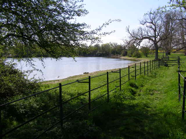
View of Culverthorpe Lake from footpath. The footpath is fenced for some distance as sheep graze the parkland and the addition of electric fencing keep both animals and walkers where they are required to be: this side of the fence. It should be possible to push a pushchair round the lake, with small children, but a stile - visible on the right - would provide an obstacle.
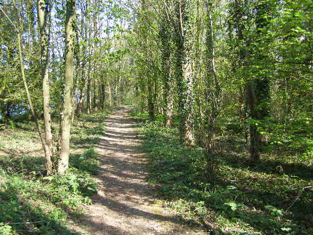
Stretch of shady woodland footpath by the lake. This footpath view is close to the Culverthorpe Hall public car park and is part of a short circular route round the larger lake; a stretch of the route is, however, along the edge of a road.


