Darfield Walks
![]()
![]() The village of Darfield is located near Barnsley in South Yorkshire.
The village of Darfield is located near Barnsley in South Yorkshire.
It's well positioned for exploring the lovely scenery of the River Dearne Valley. The RSPB's wildlife rich Old Moor Nature Reserve is also nearby.
This walk from the village takes you along a section of the waymarked Dearne Way to visit the reserve. There's some nice footpaths to follow around the wetlands with widlife such as bitterns, lapwings, redshanks, avocets and wintering golden plovers to see.
The circular walk then continues along the river to visit the neighbouring settlement of Bolton Upon Dearne. Part of the route also uses a section of the Trans Pennine Trail a popular long distance cycling and walking trail running through the area.
The route also passes close to Manvers Lake which has a nice waterside footpath and a lakeside cafe. You can find the pretty lake just south of the river and the nature reserve.
Darfield Ordnance Survey Map  - view and print off detailed OS map
Darfield Open Street Map  - view and print off detailed map
Darfield OS Map  - Mobile GPS OS Map with Location tracking
Darfield Open Street Map  - Mobile GPS Map with Location tracking
Walks near Darfield
- Barnsley Canal - Enjoy a waterside walk or cycle along the Barnsley Canal on this easy route near Royston
- Barnsley Boundary Walk - A super circular walk around the South Yorkshire town.Walk highlights includes a series of lovely reservoirs, the beautiful Peak District scenery and the splendid Bretton Country Park
- Dearne Way - Travel from Birds Edge to Mexborough along the River Dearne on this delightful riverside walk through Yorkshire.
The footpath begins at Birds Edge, near Holmfirth and heads east through Daton, Barnsley and Bolton Upon Dearne before coming to an end at Mexborough - Worsbrough Mill Country Park - This splendid park includes a historic 17th Century working water mill set in 240 acres of lovely parkland
- Wombwell Wood - Enjoy a peaceful walk around these pretty woods near Barnsley.
- Dove Valley Trail - This shared cycling and walking trail runs along a disused railway line and National Cycle Route 62 from Silkstone Common to Wombwell.
- Elsecar Reservoir and Canal Walk - This nice waterside walk takes you around Elsecar Reservoir before picking up a footpath along the Elsecar Branch Canal
- Langsett Reservoir - This circular walk takes you around the lovely Langsett Reservoir on the edge of the Peak District National Park
- Cannon Hall Country Park - Explore the beautiful lansdscaped gardens of Cannon Hall in Cawthorne, Yorkshire
- Bretton Country Park - This country park includes 500 acres of lakes and parkland, housing various sculptures as well as being the home of several endangered species
- Winscar Reservoir - Enjoy a cycle or walk along the beautiful Winscar Reservoir in the Peak District
- Broadstone Reservoir - This walk visits Broadstone Reservoir near Barnsley and Huddersfield
- Wentworth Woodhouse - Explore the extensive parkland and gardens surrounding this Grade I listed country house in the village of Wentworth, near Rotherham.
The circular walk starts in Wentworth village and picks up the Rotherham Round long distance trail to take you into Wentworth Park - Manvers Lake - This pretty lake near Barnsley has a nice circular footpath to follow around the water.
Pubs/Cafes
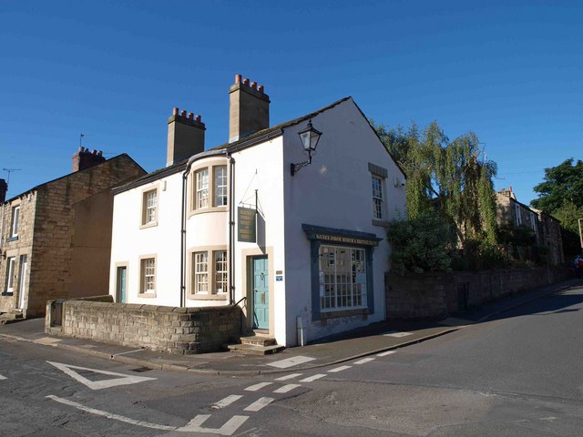
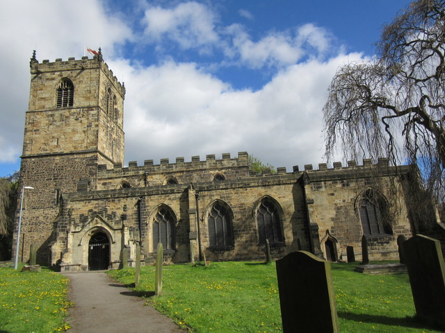
The New Cross Keys serves quality dishes in a pleasant dining area. They also have a nice garden area to relax in on warmer days. There are impressive floral displays during spring and summer. You can find them in the heart of the village next to the church and Maurice Dobson museum. The address is Church Street with postcode S73 9JX. The pub is dog friendly.


