Delamere Forest Walks and Cycling
![]()
![]() Enjoy miles of walking and cycling trails in this 2,400 acre forest on the Cheshire Plain, near Frodsham.
Enjoy miles of walking and cycling trails in this 2,400 acre forest on the Cheshire Plain, near Frodsham.
For walkers there's several easy waymarked trails to try. Cyclists can enjoy challenging mountain bike trails or easy family trails. The trails are well marked and cycle hire is available from TRACS (UK) situated just the left-handside of the forest centre car park. You can see details of all the trails on the open street map link below.
This circular walk starts from the Linmere car park and takes you around Blakemere Moss Lake. Look out for wildlife including greater spotted woodpecker, black headed gulls, dragonfly and various butterflies.
Several long distance trails pass the forest so it's easy to extend your exercise. You can explore the Mid Cheshire Ridge on the Sandstone Trail or head towards Warrington on the Delamere Way. The Baker Way also starts at the forest and will take you to Chester via Tarvin and the Shropshire Union Canal.
Just to the south of the forest you can climb to Eddisbury Hill where you will find an Iron Age hill fort. Eddisbury is the largest and most complex of the seven hill forts in the county of Cheshire. It's a short climb from the car park and affords great views over the forest and the surrounding countryside. Near here there's also Old Pale Hill which marks the high point of the northern mass of the Mid Cheshire Ridge. There's views over seven counties from this popular spot.
Postcode
CW8 2JD - Please note: Postcode may be approximate for some rural locationsPlease click here for more information
Delamere Forest Ordnance Survey Map  - view and print off detailed OS map
Delamere Forest Open Street Map  - view and print off detailed map
*New* - Walks and Cycle Routes Near Me Map - Waymarked Routes and Mountain Bike Trails>>
Delamere Forest OS Map  - Mobile GPS OS Map with Location tracking
Delamere Forest Open Street Map  - Mobile GPS Map with Location tracking
Pubs/Cafes
There's a nice on site cafe located at the Forestry Commission visitor centre. They serve a good range of snacks and sandwiches and also have a nice outdoor seating area. You can find the cafe at a postcode of CW8 2JD for your sat navs.
Next to the pretty Hatchmere Lake you'll find the Carriers Inn. The food here is very good and they also have a nice outdoor garden area for warmer days. They are also dog friendly and can be found on the Delamere Road at a postcode of WA6 6NL.
Dog Walking
The expansive forest, with its lovely wide paths is ideal for dog walking so you'll probably see plenty of other owners on your outing. There's plenty of off lead areas and a dog friendly cafe as well.
Further Information and Other Local Ideas
The start point for this walk is located very close to Delamere train station which offers an easy way for visitors to reach the forest by public transport. The station is 9½ miles (15 km) east of Chester on the Mid-Cheshire Line. There is an hourly service each way between Chester and Manchester in each direction. The station marks one end of the Baker Way footpath mentioned above.
Hatchmere Lake is located just to the north of Blakemere Moss and a nice place to visit. The mere is also a nature reserve run by the Cheshire Wildlife Trust. Here you can look out for a variety of interesting birds including great crested grebe, reed bunting and willow warbler. The reserve also includes the surrounding fens, wet woodland and wet heath with many rare plants to see as well. You can find the site at a postcode of WA6 6NY with the reserve accessed via a footpath off Ashton Road in the village, just as you enter the forest. Dogs on leads are permitted at the mere.


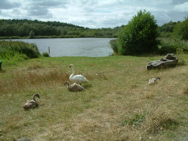
Pictured above, the lovely Hatchmere lake in the forest.
Also of note are the delightful Abbeywood Gardens. Here you can try the 2km wildlife walk, incorporating 27 acres of mature and newly-planted woodland. There's also beautiful gardens, views of the Utkinton Hills and a seven-acre Arboretum with rare deciduous and evergreen tree species. You can find the estate on Chester Road at a postcode of CW8 2HS. It's located just to the south of Delamere and includes a nice cafe.
The circular Kelsall Walk starts from the nearby village. It uses a section of the Eddisbury Way and the Sandstone Trail to visit the forest before heading up to Old Pale Hill.
For more walking ideas in the area see the Cheshire Walks page.
Cycle Routes and Walking Routes Nearby
Photos
Footpath heading into Delamere Forest near Manley Common. The forest is a mosaic of broadleaved and mixed woodlands interspersed with conifer plantations, grasslands, and wetlands that together nurture a rich diversity of flora and fauna. The forest supports native tree species such as oak, birch, and Scots pine, and its understorey bursts into life with wildflowers, ferns, and mosses that thrive on the fertile, well-drained soils. The diverse habitats provide shelter for an array of bird species—from nuthatches and treecreepers to crossbills and tawny owls—as well as butterflies like the small tortoiseshell and dragonflies including the nationally scarce white-faced darter. Mammals such as badgers, foxes, and various bat species also call the forest home, while adders can occasionally be spotted amid the undergrowth.
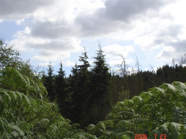
Norley. Dense forest viewed from the Sandstone Trail north of Barns Bridge Gates. Beyond its natural abundance, Delamere Forest is steeped in historical and recreational interest. Its name, meaning “forest of the lakes,” reflects the landscape’s enduring connection to water, exemplified by features such as Old Pale hill and Blakemere Moss, and the renowned Black Lake—a quaking bog that exemplifies early stages of peatland development. The forest is not only a vital ecological haven but also a cherished destination for approximately 750,000 annual visitors who enjoy its network of walking, cycling, and horse riding trails, as well as its visitor centre, outdoor concert venue, and assorted family-friendly activities. These additional attractions, together with ongoing conservation projects to restore and protect its delicate peat and moss habitats, ensure that Delamere Forest remains a vibrant and multifaceted destination for nature lovers and history enthusiasts alike.
Manley. Cod "Neolithic" camp, Delamere Forest. There usually seems to be some sort of "Neolithic" camp at this location in the Forest not far from the Outdoor Education Centre at "Fox Howl".
"Go Ape" in the Forest. New attraction for all ages located near the Linmere Visitor Centre in Delamere Forest. Aerial walkways and ropeways.
Warning Signs in Delamere Forest. These signs are to deter visitors from proceeding along a little-used track in Delamere Forest which leads to the derelict Crossley Hospital East. This incongruous scene is compounded by the fact that to either side of this gate there is no fence and no barrier! The photo was taken en route to the site at 10:58 on 7th September, 2003.


