Eddisbury Way
![]()
![]() Follow the Eddisbury way from Frodsham to Burwardsley on this walk through Cheshire.
Follow the Eddisbury way from Frodsham to Burwardsley on this walk through Cheshire.
You start by the River Weaver at Frodsham and head south to Kelshall, passing through Manley Common and skirting the edge of Delamere Forest. You then head to Duddon before crossing the Shropshire Union Canal and finishing at Burwardsley next to Peckforton Castle and Peckforton Hills.
Eddisbury Way Ordnance Survey Map  - view and print off detailed OS map
Eddisbury Way Open Street Map  - view and print off detailed map
Eddisbury Way OS Map  - Mobile GPS OS Map with Location tracking
Eddisbury Way Open Street Map  - Mobile GPS Map with Location tracking
Pubs/Cafes
Right on the trail the Pheasant Inn is a great place to stop for refreshments. The pub has a lovely garden area with wonderful views over the Cheshire Plain. It's the perfect place to relax outside after your exercise. There's a great menu and it's also dog friendly. You can find the pub in Burwardsley with a postcode of CH3 9PF.
In Kelsall there's the The Morris Dancer. The historic pub dates back to the 1630s and has a fine interior. Outside there's a splendid large garden area for warmer days. You can find them on Chester Road with postcode CW6 0RZ for your sat navs.
Further Information and Other Local Ideas
Near the end of the route you will pass the village of Tattenhall. Here you can visit the noteworthy Ice Cream Farm, the largest ice cream shop in the world. The popular tourist attraction includes expansive children's play areas, farm animals and quad bikes. You can find them at Drumlan Hall, Newton Ln, CH3 9NE.
You can pick up the Baker Way in Delamere Forest. The easy path will take you to Chester with a pleasant stretch along the Shropshire Union Canal.
Cycle Routes and Walking Routes Nearby
Photos
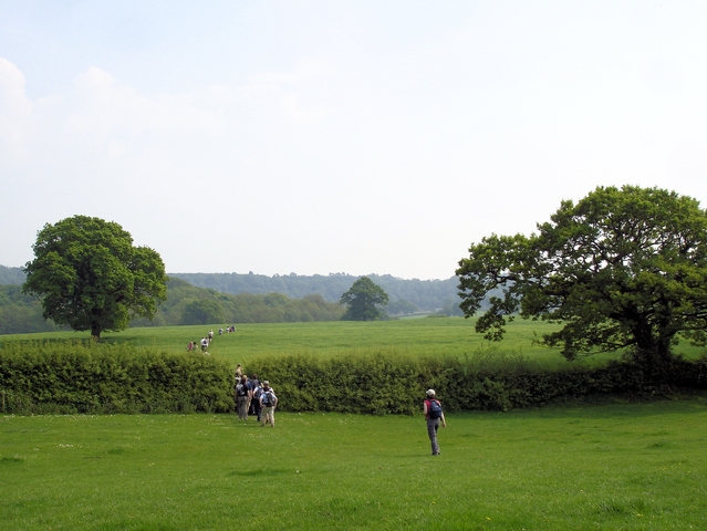
Trail view near Hoofield. From Hoofield Lane the Eddisbury Way heads out to Hoofield Covert before turning south west and meeting up with the lane again at Huxley.
Just south of Frodsham. After starting at a very small crack between two houses, the Eddisbury Way passes through a small wood before joining another footpath on a track.
Tattenhall. View along the Way with Pennsylvania Wood and the Peckforton Hills. Near Yewtree Farm at the junction of Tattenhall footpaths 18, 26 and 27.
Mill Pond, Waste Lane, Kelsall Mill pond near Delamere Farm on Waste Lane, Kelsall. The old sandstone-built mill has been converted for residential use and the pond is now in their landscaped garden.
Elevation Profile


