Djouce Mountain Hike
![]() This walk climbs to Djouce Mountain in the Wicklow Mountains.
This walk climbs to Djouce Mountain in the Wicklow Mountains.
You can start the walk from the car park at the J.B Malone Memorial which is located just east of Lough Tay on the edge of the Ballinastoe Forest. It's a lovely spot to start from with fine views over the Lough to Luggala.
From here you can follow a boardwalk along a section of the Wicklow Way. Follow the trails north and they will take you through the forest to White Hill and then onto the summit of Djouce. At the 725 m (2,379 ft) summit you will find a trig point and stunning views across to the other Wicklow mountains.
Djouce Mountain Open Street Map  - view and print off detailed map
Ireland Walking Map - View All the Routes in the Country>>
Djouce Mountain Open Street Map  - Mobile GPS Map with Location tracking
Further Information and Other Local Ideas
Also nearby is the beautiful heart shaped lake of Lough Ouler. In this area you can also visit the Glenmacnass waterfall and enjoy a climb to the stunning viewpoint at Tonelagee.
Cycle Routes and Walking Routes Nearby
Photos
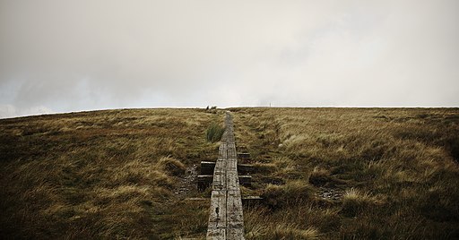
The boardwalk leading up White Hill (Wicklow, Ireland). The bog's badly eroded here due to the popularity of the Wicklow Way, so they've laid down old railway sleepers to give it some protection.
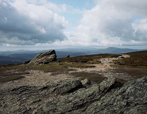
This was taken on White Hill. The three hills in the middle ground are Scarr (Scor / "Sharp Rock"), Knocknacloghoge (Cnoc na Clochóige / "Hill with Stony Bits") and Luggala (Log an Lágh / "Hollow of the Hill"). The Turlough Hill pumped hydro station is silhouetted straight ahead, while Tonelagee (Tóin le Gaoithe / "Arse to the Wind") is pushing up into the cloud.
Wicklow Way. Taken from where the Wicklow Way diverges from the path leading to Djouce mountain summit. Visible on the right-hand side is the Great Sugar Loaf.


