Druridge Bay Walks
![]()
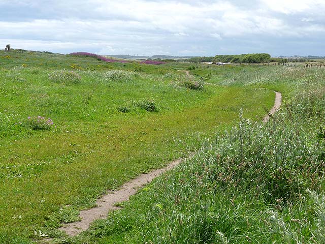
![]() This beautiful country park on the Northumberland coast consists of three miles of beach and sand dunes, the freshwater Ladyburn Lake, peaceful woodland and meadows. The coastline is simply stunning with a lovely cycling and walking path running alongside the beach. You could continue your outing by following the coast north towards Amble with views of Coquet Island, or head south to Newbiggin-By-The-Sea. There are several nature reserves in the area so there are plenty of opportunities for bird watching too.
This beautiful country park on the Northumberland coast consists of three miles of beach and sand dunes, the freshwater Ladyburn Lake, peaceful woodland and meadows. The coastline is simply stunning with a lovely cycling and walking path running alongside the beach. You could continue your outing by following the coast north towards Amble with views of Coquet Island, or head south to Newbiggin-By-The-Sea. There are several nature reserves in the area so there are plenty of opportunities for bird watching too.
This includes the adjacent Hauxley Nature Reserve which is considered to be one of the best bird watching sites in the north east.
The park is located near the popular village of Warkworth where you can enjoy a visit to the medieval castle and stroll along the River Coquet on our Warkworth River Walk. You could also pick up the coastal path on the Warkworth to Alnmouth Walk.
In Amble you can try the Amble to Warkworth Walk which takes you around the harbour and marina in the town. The Druridge Bay to Amble Walk starts from the park and takes you to Amble on a popular 4 mile stretch of the Northumberland Coast Path.
Postcode
NE61 5BX - Please note: Postcode may be approximate for some rural locationsPlease click here for more information
Druridge Bay Country Park Ordnance Survey Map  - view and print off detailed OS map
Druridge Bay Country Park Open Street Map  - view and print off detailed map
*New* - Walks and Cycle Routes Near Me Map - Waymarked Routes and Mountain Bike Trails>>
Druridge Bay Country Park OS Map  - Mobile GPS OS Map with Location tracking
Druridge Bay Country Park Open Street Map  - Mobile GPS Map with Location tracking
Pubs/Cafes
There's a good on site cafe located in a lovely position at Ladyburn Lake.
Dog Walking
The bay is a great place for dog walking so you'll probably see other owners on your visit.
Further Information and Other Local Ideas
To extend your walking in the area head to the nearby town of Newbiggin By the Sea. There's some nice trails along the beach and bay with a noteworthy 13th century church and an interesting old 17th century pub to visit too.
For more walking ideas in the area see the Northumberland Walks page.
Cycle Routes and Walking Routes Nearby
Photos
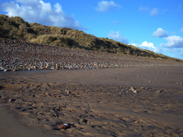
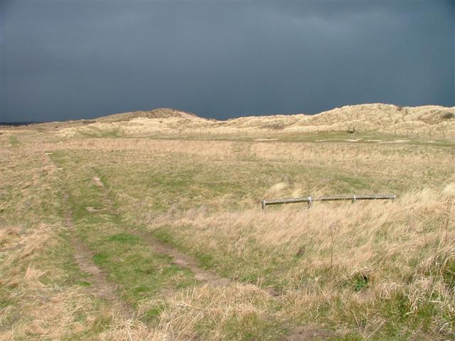
Sand, Shingle and Dunes, Druridge Bay, Northumberland. The dunes are primarily stabilised by marram grass, a common halophytic plant, along with other salt-tolerant species such as sea thrift and sea aster. In the adjacent saltmarsh and intertidal zones, native grasses and low-growing plants adapted to saline conditions are prevalent.
Druridge Bay, Bondi Carrs. The bay supports a diverse range of bird species. Wading birds including oystercatchers, redshanks, dunlins, and sanderlings are commonly observed foraging on the intertidal flats, while gulls and terns frequently occupy the coastal waters and dune areas. In addition, the dynamic habitat attracts a variety of invertebrates—such as amphipods, isopods, and molluscs—that play a key role in the local food chain, and the marine environment supports fish species and occasional seal sightings.
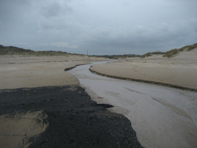
Water Outlet. A stream runs out of a lagoon behind the dunes, across the beach out to the North Sea. The swathe of black deposits in the foreground appears to be coal dust.
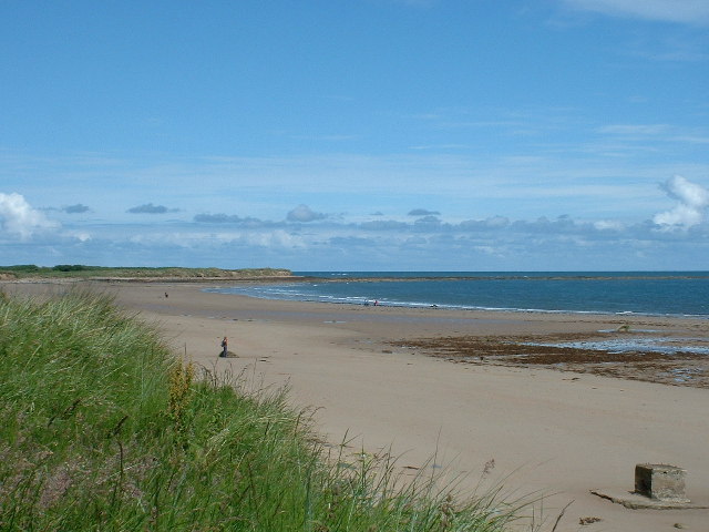
A long expanse of golden sands. Beyond its biological interest, Druridge Bay is notable for its active coastal processes. The bay's shifting sandbanks and erosion of its cliffs are of significant geomorphological interest, contributing to ongoing studies in coastal dynamics. The area is designated as part of the Northumberland Coast Area of Outstanding Natural Beauty, and its protected status ensures that both its natural habitats and geological features are preserved.
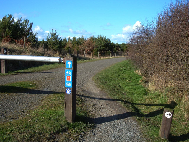
Here we are close to the Visitor Centre where there is a link path to the main Sustrans National Cycle Network Route 1 along the coast.
