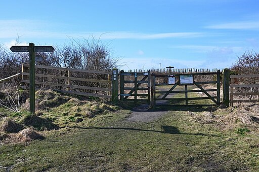
Hauxley Nature Reserve
![]()
![]() This walk visits the Hauxley Nature Reserve on the Northumberland coast near Amble.
This walk visits the Hauxley Nature Reserve on the Northumberland coast near Amble.
The reserve is one of the best bird watching sites in the north east. You can enjoy a walk around the pretty lake and enjoy some fine views over Druridge Bay Country Park. There's also a splendid Wildlife Discovery Centre where you can learn all about the different species that visit the area. Birds to look out for include reed bunting, bull finch, coot, moorhen and curlew. Other wildlife includes red squirrels, stoats and otters. Around the wildflowers there's also a variety of butterflies to see.
To extend the walk head into Druridge Bay Country Park and explore the dunes, large freshwater lake, peaceful woodland and meadows.
Postcode
NE65 0JR - Please note: Postcode may be approximate for some rural locationsPlease click here for more information


