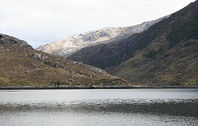
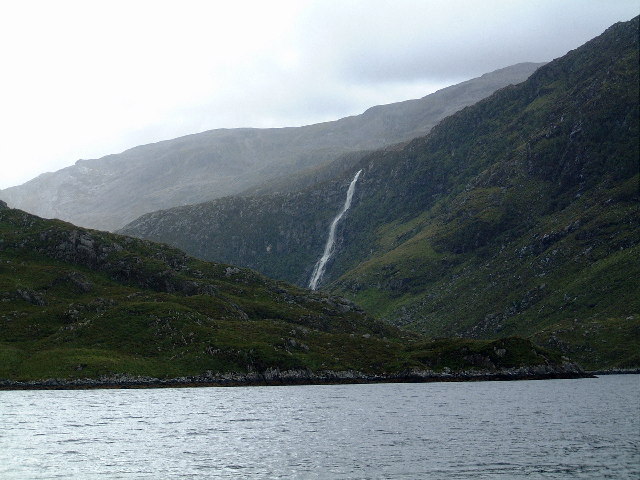
Eas a' Chual Aluinn from Loch na Gainmhich
![]()
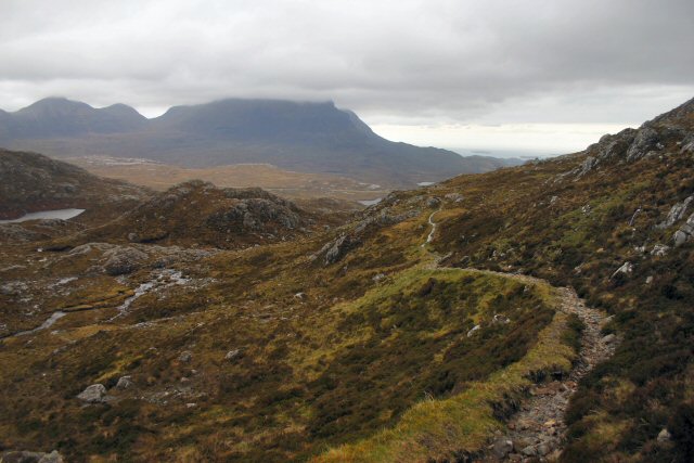
![]() This walk takes you to the highest waterfall in Britain. It starts at the Loch na Gainmhich car park about 3 miles from the falls, and follows a challenging footpath to the spectacular waterfall.
This walk takes you to the highest waterfall in Britain. It starts at the Loch na Gainmhich car park about 3 miles from the falls, and follows a challenging footpath to the spectacular waterfall.
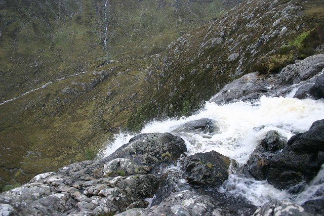
The walk takes you past Loch na Gainmhich and a series of smaller lochs to the spectacular 658ft (200m) falls. From the high points on the walk there are wonderful views of Loch Glencoul, Loch Beag and the hills of Glas Bheinn and Quinag.
The falls are located a few miles south of Kylesku where you can catch also boat trips to the falls.
You can continue your walking in the area by heading a few miles south to visit Loch Assynt. Here you can visit the striking ruins of Ardvreck Castle which sits on a rocky promontory jutting out into the expansive loch.
Postcode
IV27 4HW - Please note: Postcode may be approximate for some rural locationsEas a' Chual Aluinn Ordnance Survey Map  - view and print off detailed OS map
Eas a' Chual Aluinn Open Street Map  - view and print off detailed map
Eas a' Chual Aluinn OS Map  - Mobile GPS OS Map with Location tracking
Eas a' Chual Aluinn Open Street Map  - Mobile GPS Map with Location tracking
Further Information and Other Local Ideas
Head west and you could visit the beautiful Clashnessie Bay and Clashnessie Falls. The 15m high falls are an impressive sight after rain.
The splendid Knockan Crag Nature Reserve is well worth a visit. The site includes some spectacular limestone scenery with a variety of interesting plant species. There are also some lovely views of the adjacent Lochan an Ais to enjoy here.
Cycle Routes and Walking Routes Nearby
Photos
Eas a'Chual Aluinn. Anglicised as Ess Coul Aulin, this is the highest waterfall in the British Isles, and it is one of the highlights of the boat trip. After recent dry weather there is barely a thread of water against the dark cliff to right of centre.
Elevation Profile


