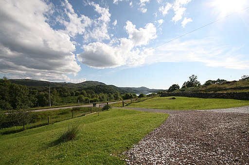
Loch Assynt and Ardvreck Castle
![]()
![]() This walk visits ruins of Ardvreck Castle on the shores of Loch Assynt near Lochinver, Sutherland.
This walk visits ruins of Ardvreck Castle on the shores of Loch Assynt near Lochinver, Sutherland.
There is some roadside parking next to A837 on the eastern side of the loch. From here you can follow a footpath a short distance to the photogenic castle ruins. The castle dates back to the 15th century and sits in a striking location on a promontory jutting out into the expansive loch. There's also some wonderful scenery to enjoy as you make your way along the loch.
You can extend your walking in the area by heading a few miles north east to visit Eas a' Chual Aluinn, the highest waterfall in the UK. The walk also visits Loch na Gainmhich, a popular starting point for the walk to the falls.
Loch Assynt Ordnance Survey Map  - view and print off detailed OS map
Loch Assynt Open Street Map  - view and print off detailed map
Loch Assynt OS Map  - Mobile GPS OS Map with Location tracking
Loch Assynt Open Street Map  - Mobile GPS Map with Location tracking
Further Information and Other Local Ideas
Head north west and you could visit the beautiful Clashnessie Bay and Clashnessie Falls. The 15m high falls are an impressive sight after rain.
The Lochinver River Walk will take you along the River Inver which flows between Lochinver and Loch Assynt. You can also visit the peaceful Culag Woods and enjoy some interesting sculptures in Lochinver.
To the south you'll find the splendid Knockan Crag Nature Reserve. The site includes some spectacular limestone scenery with a variety of interesting plant species. There are also some lovely views of the adjacent Lochan an Ais to enjoy here.
Cycle Routes and Walking Routes Nearby
Photos
View of loch beach and Ardvreck Castle. Dates back to about 1490. While the castle looks substantial from this angle there is very little remaining. The site is famous as the place where the royalist James Graham, 1st Marquess of Montrose was handed over in 1650 to the Covenanter forces by MacLeod, Laird of Assynt after the Battle of Carbisdale. The battle was part of the Wars of the Three Kingdoms. Also known as the British Civil Wars they involved a series of conflicts in the Kingdoms of England, Scotland and Ireland. The battles that took place between 1639 and 1653 and involved separate kingdoms under King Charles I.


