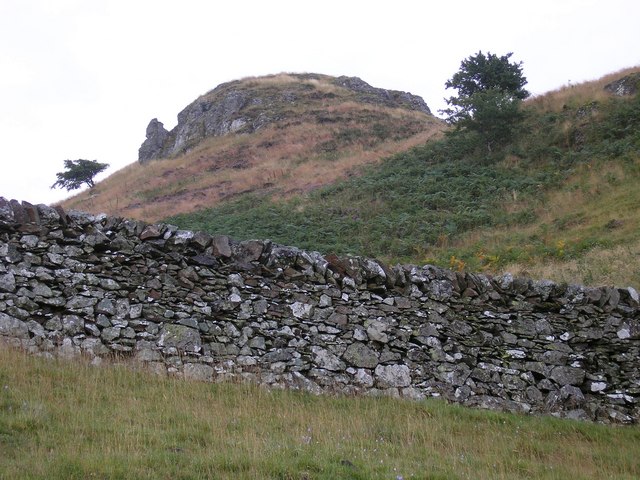
Eildon Hills
![]()
![]() This circular walk climbs to a series of wonderful viewpoints above the town of Melrose on the Scottish Borders. The Eildon Hills consist of three peaks of about 400 metres with wonderful views to Melrose Abbey, Leaderfoot Viaduct and the surrounding countryside of the Borders.
This circular walk climbs to a series of wonderful viewpoints above the town of Melrose on the Scottish Borders. The Eildon Hills consist of three peaks of about 400 metres with wonderful views to Melrose Abbey, Leaderfoot Viaduct and the surrounding countryside of the Borders.
The walk starts in Melrose next to the abbey. From here you can pick up the St Cuthbert's Way long distance trail and follow it south towards the hills. You then follow a different path on your right up to Eildon Mid Hill. At 422m (1,385 ft) it is the highest of the peaks and includes a trig point and a view indicator at the summit. There are fabulous views over the surrounding area from here.
After taking in the views the route then heads south to visit Eildon Wester Hill (371m) where there are great views back to the other two hills.
The route then turns north to visit Eildon North Hill (404m), the final of the 3 peaks. This hill was the site of a large Bronze Age Settlement which included 300 hut circles. There is also some evidence that prehistoric peoples regarded the Eildon Hills as a holy place and scholars believe they may have been a place of ceremonial gatherings. There are several holy springs around the base of the hills, now dedicated to Christian saints, but probably originally sacred to Celtic deities.
The final section of the walk descends from the north hill to Eildontree Stone where you pick up a secton of the Borders Abbeys Way to take you towards Newstead before returning to Melrose.
To extend your walking in the Melrose area you can pick up the Southern Upland Way. You could follow it west and enjoy nice river paths along the River Tweed to Tweedbank. Heading east will take you to the impressive Leaderfoot Viaduct, the 18th century Drygrange Old Bridge, and the fascinating Roman settlement of Trimontium .
Eildon Hills Ordnance Survey Map  - view and print off detailed OS map
Eildon Hills Open Street Map  - view and print off detailed map
Eildon Hills OS Map  - Mobile GPS OS Map with Location tracking
Eildon Hills Open Street Map  - Mobile GPS Map with Location tracking
Further Information and Other Local Ideas
If you follow the Borders Abbey Way east it will take you towards Kelso where you can visit the abbey and the ruins of Roxburgh Castle. There's also nice river walks along the rivers Tweed and Teviot here. You could also visit the delightful Stichill Linn waterfall, something of a hidden gem in the area.
Head south from the town to visit nearby Jedburgh and explore the 12th century abbey ruins and enjoy a stroll alond the Jed Water river.
Just to the east of Melrose there's the climb to Scott's View to try. The viewpoint is named after Sir Walter Scott, author of novels such as Ivanhoe and Rob Roy. From here you can enjoy some wonderful views over the town and the surrounding hills and countryside.


