Ellerhayes Bridge and the River Culm Walk
![]()
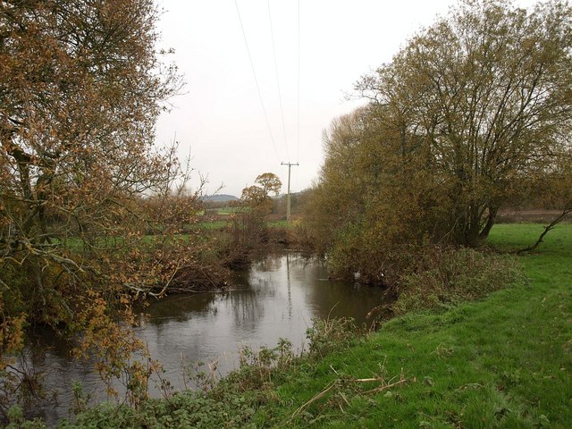
![]() This walk visits the ancient Ellerhayes Bridge and the River Culm in Devon. The 15th century stone bridge is a pleasant place for a riverside walk with a free car park and attractive scenery.
This walk visits the ancient Ellerhayes Bridge and the River Culm in Devon. The 15th century stone bridge is a pleasant place for a riverside walk with a free car park and attractive scenery.
Start the walk from the small National Trust parking area right next to the bridge. Cross over the bridge and you will find a public footpath heading north along the River. There's some lovely countryside views on the short riverside path which leads up to the train line. If you continue along the trail north west you will soon come to the village of Silverton.
The bridge is located on the northern edge of Killerton Park. The National Trust owned park is a great place to extend your walk with its woodlands, gardens and historic 18th century mansion.


