Erme Estuary
![]()
![]() This circular walk explores the beautiful estuary of the River Erme as it meets the English Channel in South Devon. The estuary is now designated as an Area of Outstanding Natural Beauty, with pretty beaches, coastal views and lots of wildlife. Look out for Egrets, curlew, oystercatchers and shelduck on your walk.
This circular walk explores the beautiful estuary of the River Erme as it meets the English Channel in South Devon. The estuary is now designated as an Area of Outstanding Natural Beauty, with pretty beaches, coastal views and lots of wildlife. Look out for Egrets, curlew, oystercatchers and shelduck on your walk.
The walk starts and finishes from the little village of Kingston, just to the east of the estuary. You then follow footpaths west to Furzedown Wood where woodland trails lead you to the coast. At this point you have the option of crossing the estuary at low tide and heading west towards Newton Ferrers, although you may well get your feet wet! This route heads south along the coast path, passing old lime kilns and Wonwell Beach on your way to Beacon Point. You continue east along the coast to Hoist Point and Westcombe Beach where you turn inland. The route then follows Wiscombe Lane back into Kingston.
To extend your walk you could continue east along the South West Coast Path and head to Burgh Island at Bigbury on Sea. You can walk to the island at low tide or catch the sea tractor which is run by the island's hotel. Around here you can also pick up the Avon Estuary Walk which is a similar walk to this one.
If you would like to explore the course of the river, then head north towards Ermington to pick up the Erme Plym Trail.
Erme Estuary Ordnance Survey Map  - view and print off detailed OS map
Erme Estuary Open Street Map  - view and print off detailed map
Erme Estuary OS Map  - Mobile GPS OS Map with Location tracking
Erme Estuary Open Street Map  - Mobile GPS Map with Location tracking
Cycle Routes and Walking Routes Nearby
Photos
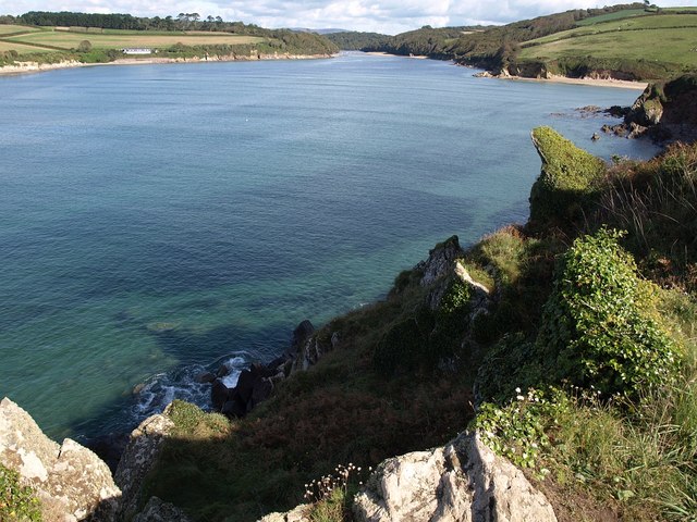
Erme estuary. Looking up the estuary from Muxham Point, with Winwell Beach on the right, and the old coastguard cottages on the left.
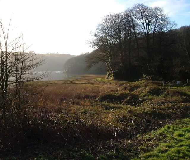
Structure in the estuary. The remains of a stone structure at the end of a channel (right) carrying water from the fish pond at Pamflete. Could the structure be a tide mill, fed with water to keep operating during low tide? Or a fish trap?
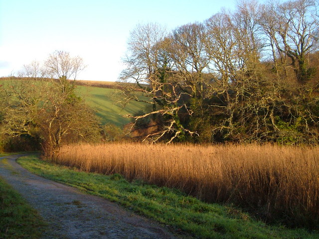
The main channel impinges on the west bank here, leaving only a thin foreshore of rocks and mud at low tide, overhung with trees. Looking upstream.
The estuary viewed from Owen's Hill. Looking up the estuary, with the tide fast receding. Beyond the slate headland are former coastguard cottages, now holiday homes.


