Thurlestone and Bantham Walk
![]()
![]() This circular walk on the Devon coast explores the area around Thurlestone village.
This circular walk on the Devon coast explores the area around Thurlestone village.
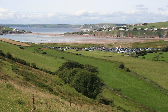
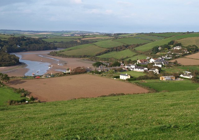
On the way you'll visit Thurlestone Sands beach and Bantham, while enjoying wonderful views over Bigbury Bay. There's also some wonderful geology and nice views of the South Milton Ley River which runs just east of the beach.
The walk starts at the National Trust car park at South Milton Sands. The area is a popular place with a beautiful beach, rock pools and fine views of the Thurlestone Rock archway. From here you can pick up a section of the epic South West Coast Path and follow the waymarked footpath north towards Bantham, passing Warren Point, Loam Castle and Leas Foot Sand on the way. You'll head along the dunes at Bantham Sands before turning south to Thurlestone village and the golf course.
Postcode
TQ7 3JY - Please note: Postcode may be approximate for some rural locationsThurlestone Ordnance Survey Map  - view and print off detailed OS map
Thurlestone Open Street Map  - view and print off detailed map
Thurlestone OS Map  - Mobile GPS OS Map with Location tracking
Thurlestone Open Street Map  - Mobile GPS Map with Location tracking
Pubs/Cafes
The Beach House cafe is located close to the car park at the start of the walk. They serve delicious locally caught seafood which you can enjoy outside with a sea view.
Dog Walking
The beach and coastal paths are great for dog walking. The cafe mentioned above also welcomes dogs.
Further Information and Other Local Ideas
The Avon Estuary Walk starts from the Bantham Sands car park. It will take you along the wildlife rich river estuary with a ferry ride to the lovely settlement of Bigbury on Sea on the other side. Here you can explore the wonderful Burgh Island, the inspirational setting for the Agatha Christie mystery 'And Then There Were None'.
The Thurlestone to Hope Cove Walk starts in Thurlestone and will take you south along the coast path to the picturesque Hope Cove at Outer Hope.
Cycle Routes and Walking Routes Nearby
Photos
Rocks and pools near Warren Point. Jagged barnacle-encrusted rocks and deep pools make this a very irregular wave-cut platform. The prominent building on the clifftop, in SX6742, is The Links, formerly a hotel and now apartments.


