Falls of Lora Walk
0.6 miles (1 km)
![]()
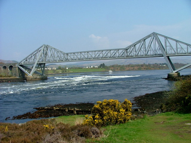
![]() This walk takes you to Connel where you can observe the Falls of Lora at the seaward end of Loch Etive. The falls are a tidal race which forms at the mouth of Loch Etive when a particularly high tide runs out from the loch. They form white water rapids for two to five days either side of the spring tides.
This walk takes you to Connel where you can observe the Falls of Lora at the seaward end of Loch Etive. The falls are a tidal race which forms at the mouth of Loch Etive when a particularly high tide runs out from the loch. They form white water rapids for two to five days either side of the spring tides.
The walk starts from the Falls of Lora viewpoint car park just to the west of the Connel Bridge. You can then follow a road along the loch with fine views to the falls. It's also possible to climb up to the Connel Bridge for views down to the rushing water below.
You can continue your walking in the area on the Glen Etive Walk with fabulous views of the striking peaks of Buachaille Etive Mor.


