Glen Etive and Loch Etive Walk
![]()
![]() This is a fairly flat walk or cycle through the beautiful Glen Etive in the Scottish Highlands. The route runs along a long country lane, following the River Etive through the Glen to Loch Etive. It's a special area with the river dotted with pretty waterfalls and surrounded by the striking peaks of Buachaille Etive Mor. Look out for red deer as you make your way through this stunning glen.
This is a fairly flat walk or cycle through the beautiful Glen Etive in the Scottish Highlands. The route runs along a long country lane, following the River Etive through the Glen to Loch Etive. It's a special area with the river dotted with pretty waterfalls and surrounded by the striking peaks of Buachaille Etive Mor. Look out for red deer as you make your way through this stunning glen.
The route starts from a parking area on the A82 near the King's House Hotel in Glencoe, Argyll. You then pick up the narrow country lane and follow it through the Glen, passing attractive woodland and the lovely Lochan Urr before finishing at Loch Etive.
The area also featured in the Bond film Skyfall. You can extend your walk by climbing the wonderful Buachaille Etive Mor ridge.
At the western end of the loch you can see the Falls of Lora at Connel.
Postcode
PH49 4HY - Please note: Postcode may be approximate for some rural locationsGlen Etive Ordnance Survey Map  - view and print off detailed OS map
Glen Etive Open Street Map  - view and print off detailed map
Glen Etive OS Map  - Mobile GPS OS Map with Location tracking
Glen Etive Open Street Map  - Mobile GPS Map with Location tracking
Explore the Area with Google Street View 
Further Information and Other Local Ideas
Head north east and you could visit the remote Corrour Station. The station is notable as the highest mainline railway station in the United Kingdom. From here there is a nice trail to follow to the nearby Loch Ossian. Loch Treig can also be visited in this area.
Head north and you could visit the second highest waterfall in Scotland on the Steall Falls Walk. It's a spectacular sight and another scenic highlight of the area.
Just to the west you'll find the Three Sisters Glencoe Waterfall Walk. There's a car park and viewpoint here with excellent views of the three striking mountains. You can then pick up trails along the River Coe with a series of pretty waterfalls to see on the way.
Head south west and there's the popular coastal town of Oban to visit. There's a lovely bay and a fine climb to the viewpoint on McCaig's Tower to enjoy here. To the north of the town there's the expansive Loch Creran where you can visit the wildlife rich Shian Woodland Nature Reserve.
For more walking ideas in the area see the Scottish Highlands Walks page.
Cycle Routes and Walking Routes Nearby
Photos
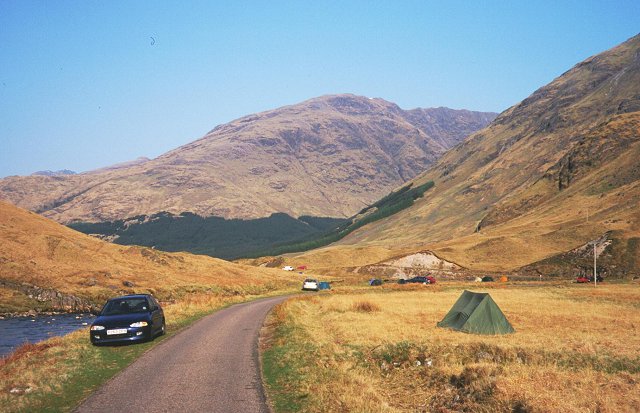
Glen Etive. The road squeezes between the Stob na Broige top of Buachaille Etive Mor and the river. The river flats throughout the glen are a popular camping spot, there is a management issue here.
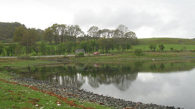
Tide race, Loch Etive. Looking across towards North Connel with the turbulent waters below the Falls of Lora. Lots of overfalls and eddies as the loch empties over a rock bar at its mouth.


