Foel Drygarn Walk
![]()
![]() This walk climbs to the Iron Age Hill Fort on the top of Foel Drygarn in the Preseli Hills in Pembrokeshire.
This walk climbs to the Iron Age Hill Fort on the top of Foel Drygarn in the Preseli Hills in Pembrokeshire.
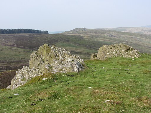
You can start the walk from the public car park which lies just to the south east of the hill. From here you can pick up a trail heading north west to the hill summit which stands at a height of 363 metres. Here you will find a trig point, rocky outcrops and some splendid views over the surrounding hills to the coast at Dinas Head. There's also the three ancient stone cairns, regarded as Bronze Age burial mounds.
To continue your walking in the area you could head west along the Preseli Hills Golden Road and visit the nearby peaks of Foel Cwmcerwyn and Foel Eryr.
Postcode
SA41 3SG - Please note: Postcode may be approximate for some rural locationsFoel Drygarn Ordnance Survey Map  - view and print off detailed OS map
Foel Drygarn Open Street Map  - view and print off detailed map
Foel Drygarn OS Map  - Mobile GPS OS Map with Location tracking
Foel Drygarn Open Street Map  - Mobile GPS Map with Location tracking
Pubs/Cafes
Head east into Crymych village and you can enjoy some post walk refreshments at the Crymych Arms Inn. You can find them at postcode SA41 3RJ.
Cycle Routes and Walking Routes Nearby
Photos
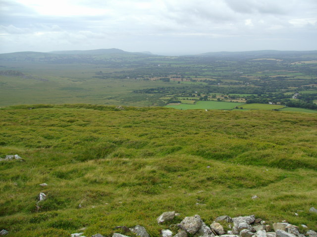
View from Foel Drygarn towards Dinas Head. I am standing on one of the three cairns, surrounded by the acidic grassland of the Iron Age hilltop fort. In the middle distance there is the bleak open moorland of the Preseli mountains to the left and lush enclosed farmland to the right. The sea is just visible in the dip on the horizon.


