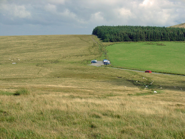
Foel Eryr Circular Walk
![]()
![]() This circular walk climbs to Foel Eryr in the Preseli Hills in Pembrokeshire.
This circular walk climbs to Foel Eryr in the Preseli Hills in Pembrokeshire.
The walk starts from the Bwlch Gwynt car park on the B4329, just north of the village of Rosebush. From here you can pick up trails heading west to the Foel Eryr peak which stands at 468 metres. Here you will find a Bronze Age Cairn and some wonderful views over the surrounding countryside, hills and mountains. There is also a handy Toposcope detailing the surrounding landmarks you can see from this wonderful elevated spot. On a clear day you can also see the coast with Lundy Island, Cardigan Bay, the Cleddau estuary and St Brides Bay all visible.
The route then continues west to pick up a bridle path which you can follow past the quarry and back to the car park.
The Preseli Hills Golden Road starts from the same car park. You can extend your walk by following the trail east to climb Foel Cwmcerwyn, the highest point in the hills. Foel Drygarn is a little further on and includes an ancient Iron Age Hillfort at the summit.


