Frimley Walk - The Hatches, Frimley Green and Canal
![]()
![]() This Surrey based town has some nice easy waterside trails along the local river and canal.
This Surrey based town has some nice easy waterside trails along the local river and canal.
This walk from the train station takes you along a section of the Blackwater Valley Footpath to the Frimley Hatches Nature Reserve and the village of Frimley Green. You'll then enjoy another waterside footpath along the Basingstoke Canal toward Pirbright. Keep your eyes peeled for a variety of water loving birds around the reserve's lakes.
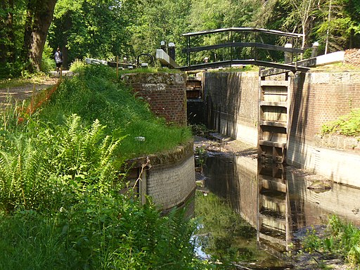
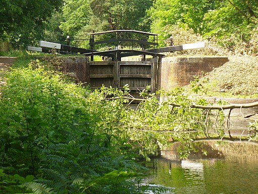
The walk starts at Frimley train station on the western side of the town. From here you can pick up the waymarked footpath and follow it south along the River Blackwater and a series of lakes. At the nature reserve turn east to visit the village of Frimley Green where there's a pretty village green, a nice pub and Wharfenden Lake. Near the lake you can pick up the canal and follow it east past a series of locks, aqueducts and weirs towards Pirbright and Woking. Near here you could extend the walk by visiting Brookwood Cemetery.
Postcode
GU16 7EW - Please note: Postcode may be approximate for some rural locationsFrimley Ordnance Survey Map  - view and print off detailed OS map
Frimley Open Street Map  - view and print off detailed map
Frimley OS Map  - Mobile GPS OS Map with Location tracking
Frimley Open Street Map  - Mobile GPS Map with Location tracking
Walks near Frimley
- Blackwater Valley Footpath - This is a nice easy waterside walk along the Blackwater River from Aldershot to Swallowfield.
The walk starts at the delightful Rowhill Nature Reserve in Aldershot and heads along the river to Farnborough, passing Gold Valley Lakes and Willow Park on the way - Basingstoke Canal Walk - Follow the Basingstoke canal from Up Nately to Woodham, on this delightful waterside walk
- Pirbright - This Surrey based village has some nice trails through the local commons and woodland
- Woking - This Surrey town has a number of fine walking trails to try, particularly just to the east of the town centre
- Whitmoor Common - Explore the heathland, woodland, grassland and ponds on this large area of common land in Guildford
- Wey South Path - Follow the Wey River and the Wey and Arun Canal on this wonderful waterside walk through Surrey and Sussex
- Guildford Canal Walk - A nice waterside walk from Guildford to Godalming along the River Wey Navigation Canal
- Guildford - The town of Guildford has a huge selection of walks to choose from with several long distance trails, hill climbs, parks, rivers and canals to explore.
This long circular walk makes use of some of the waymarked footpaths running through the area, showcasing the best of the surrounding North Downs countryside - Brookwood Cemetery - The Brookwood Cemetery is a Surrey based grade I listed site which includes a 220 Acre park.
- Hawley Lake - Enjoy a circular walk around Hawley Lake on this easy walk in Hart, Hampshire.
You can start the walk from the Sail Training Centre on the northern side of the water - Farnborough - This Hampshire based town sits on the county border with Surrey
Further Information and Other Local Ideas
Just to the west of the town there's some nice woodland and waterside trails around Hawley Common and Lake.
To the south is Aldershot where there's the Gold Valley Lakeside Nature Reserve to explore. There's some easy lakeside trails, lots of wildlife and a lovely cafe to rest in here.
For more walking ideas in the area see the Surrey Walks page.
Photos
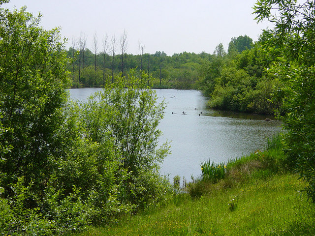
Frimley Bridge Lake taken from the Blackwater Valley Path (a long distance route following the Surrey, Berkshire and Hampshire borders, with many sections easily accessible for cyclists, the mobility impaired and young families).
Frimley Green, The Green. The Green Massed ranks of bollards protect Frimley Green's green from traffic on The Green..., which is the lane to the right.
A glimpse of Stanley Pool. A glimpse through the trees of Stanley Pool on the Furze Hill estate of Sir Henry Morton Stanley (see SU9455 and SU9356). The pool is named after what is now known as Pool Malebo, a lake between Zaire and the Congo formed by a widening of the Congo River. The African version was a little larger than this one, though – it covered over 300 square miles! In spring the pool is covered in water lilies.


