Whitmoor Common Worplesdon
![]()
![]() Explore the heathland, woodland, grassland and ponds on this large area of common land in Guildford.
Explore the heathland, woodland, grassland and ponds on this large area of common land in Guildford.
The common is criss crossed with a number of good footpaths. Features include a pretty stream where you can look out for water voles and other wildlife.
The extensive area of open heathland is surrounded by attractive Scots pine, oak and birch woodland. Look out for other interesting flora such as bell heather, ling and bracken.
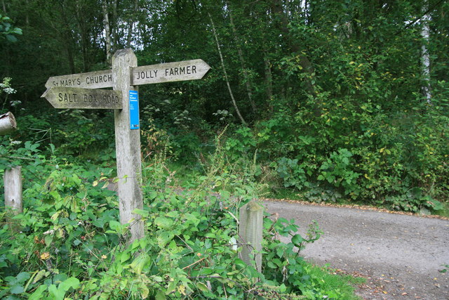
This circular walk starts at the car park off Salt Box Road at the southern end of the common. You have the option of continuing your walk in the adjacent Stringer's Common. The common is located across the road just to the south of Whitmoor Common. There's more nice tracks through woodland and around Britten's Pond.
The common is located just a couple of miles north of Guildford town centre. You can further extend your walk by picking up the Wey South Path and enjoying a riverside stroll through Guildford. This will take you to the lovely Riverside Park Nature Reserve and Parsonage Water Meadows.
Postcode
GU4 7PZ - Please note: Postcode may be approximate for some rural locationsWhitmoor Common Ordnance Survey Map  - view and print off detailed OS map
Whitmoor Common Open Street Map  - view and print off detailed map
Whitmoor Common OS Map  - Mobile GPS OS Map with Location tracking
Whitmoor Common Open Street Map  - Mobile GPS Map with Location tracking
Pubs/Cafes
The Jolly Farmer is conveniently located next to the common and a good choice for some post walk refreshments. The attractive country pub does good, traditional food and has a nice grassy, tree-lined garden to relax in on warmer days. You can find the pub on Burdenshot Rd, which runs through the eastern side of the common. The postcode for your sat navs is GU3 3RN.
Dog Walking
The expansive common is a great place to go for a dog walk and the Jolly Farmer mentioned above is also dog friendly.
Further Information and Other Local Ideas
Just to the west of the common you can try the circular Pirbright Walk and explore the attractive Pirbright Common. The village is also very pretty with a village green, cricket pitch, duck pond and noteworthy medieval church to see. On the eastern side of the village you'll also find Brookwood Cemetery. The cemetery is the largest in the UK and includes a 220 Acre park with some good walking trails. Near here you could also pick up the Basingstoke Canal and follow it towards Frimley and Farnborough.
For more walking ideas in the area see the Surrey Walks page.
Cycle Routes and Walking Routes Nearby
Photos
The bridleway running along the southern edge of Whitmoor Common, looking south-west. Taken from near the cluster of houses at Mount Pleasant.
Whitmoor Common is an SSSI that mainly consists of heathland, as seen in the foreground here. However there are large tracts of woodland too, and the Scots pine trees seen here are a more recent introduction into the naturally occurring oak, hazel and other deciduous species that are native to the heath
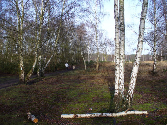
Silver birches with bracken and grass undergrowth near the Salt Box Road car park. This area is well used bt walkers from neighbouring Guildford housing estates.
Jordan Hill. In July 2004 Whitmoor Common and neighbouring Rickford Common gained the status of Local Nature Reserve. The Commons are owned by Surrey County Council and managed by Surrey Wildlife Trust Countryside Services under a groundbreaking partnership between the Wildlife Trust and County Council that was signed in May 2002.
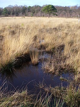
A wide area of wet grassland sits amidst the woods on the common. Some paths over the grassland allow access for walkers.


