Southerndown to Nash Point Coastal Walk
![]()
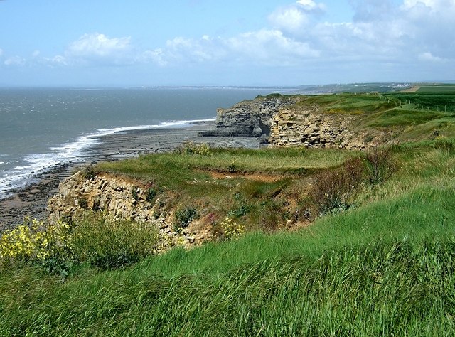
![]() This walk follows a section of the lovely Glamorgan Heritage Coast from Southerdown to Dunraven Bay and Nash Point lighthouse and St Donat's Castle. It's a lovely stretch of coast with wonderful cliff top views, interesting limestone rock formations and pretty beaches.
This walk follows a section of the lovely Glamorgan Heritage Coast from Southerdown to Dunraven Bay and Nash Point lighthouse and St Donat's Castle. It's a lovely stretch of coast with wonderful cliff top views, interesting limestone rock formations and pretty beaches.
The walk starts from the public car park at Dunraven Bay in Southerndown. The ruins of the 12th century Dunraven castle can be explored in this area too. From here you can pick up the coastal path and follow it south to Traeth Mawr Beach and cliffs. You then pass Cwm Nash and Cwm Marcroes before coming to Nash Point. Here you'll find a noteworthy Grade II listed lighthouse, which dates from 1831-32. After passing the lighthouse you come to the medieval St Donat's castle. Wonderfully positioned on cliffs overlooking the Bristol Channel, the site has been occupied since the Iron Age, and was by tradition the home of the Celtic chieftain Caradog.
The route finishes at the castle and returns on the same paths, though you could follow an inland path to visit the village of Marcross on the way.
Part of the walk follows the long distance Vale of Glamorgan Circular Walk. This epic waymarked route is a great way to further explore this beautiful area. You could continue along the route to visit the nearby town of Llantwit Major for example. If you head in the other direction from the car park you can visit Ogmore by Sea on the Southerndown and Ogmore Coastal Walk. There's nice views of the Ogmore River and the option of continuing to the wonderful Merthyr Mawr Sand Dunes.
Glamorgan Heritage Coast Ordnance Survey Map  - view and print off detailed OS map
Glamorgan Heritage Coast Open Street Map  - view and print off detailed map
*New* - Walks and Cycle Routes Near Me Map - Waymarked Routes and Mountain Bike Trails>>
Glamorgan Heritage Coast OS Map  - Mobile GPS OS Map with Location tracking
Glamorgan Heritage Coast Open Street Map  - Mobile GPS Map with Location tracking
Pubs/Cafes
Head to the The Horseshoe Inn in the peaceful little village of Marcross for some refreshments on the walk. The historic country pub dates from the 19th century and has been serving the local farming community for well over a century. There's a friendly welcome, a good menu and a lovely large garden to sit out and relax in on warmer days. You can find the pub in the village with a postcode of CF61 1ZG for your sat navs.
Further Information and Other Local Ideas
Just inland from this stretch of coast you will find can try the Cowbridge Walk. This circular walk explores the attractive market town with its Physic Garden and pretty riverside park.
The Llantwit Major Walk will take you along the river to the beach before following the coastal path to the Nash Point lighthouse on the coast. The historic town is also well worth a visit. There's a lovely beach and some fine old buildings including a 13th century church and a 12th century pub.
The Church College and Lighthouse Walk is a longer circular walk which explores this area.
Cycle Routes and Walking Routes Nearby
Photos
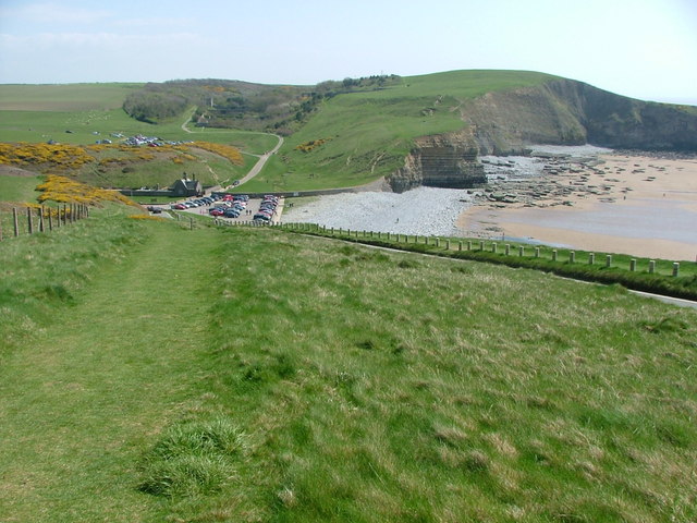
Descending towards Dunraven Bay. The beach was very popular on this Bank Holiday Weekend. The car park can been seen in this picture too.
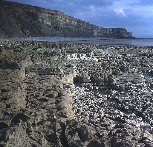
Traeth Mawr. At low tide from the limestone-layered foreshore, looking south-east along the beach and coastline.


