Nash Point Walk
![]()
![]() This coastal circular walk in the Vale of Glamorgan visits Nash Point Lighthouse on the Monknash Coast. The stretch of coast is popular with hikers with cliff top views, nice beaches and a visit to the Grade II listed lighthouse, which dates from 1831-32.
This coastal circular walk in the Vale of Glamorgan visits Nash Point Lighthouse on the Monknash Coast. The stretch of coast is popular with hikers with cliff top views, nice beaches and a visit to the Grade II listed lighthouse, which dates from 1831-32.
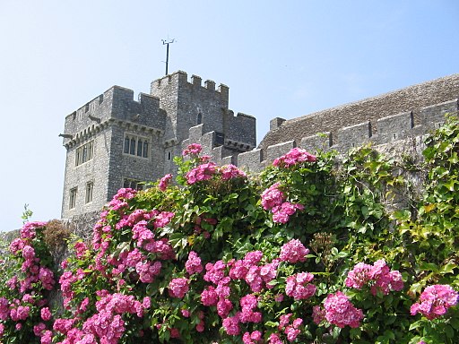
You can park at the Nash Point car park, just south of Marcross. From here it is a short walk to the coastal path and the lighthouse. You follow the path east to St Donat's Point, with nice views of St Donat's Bay, Tresilian Bay and the Bristol Channel. The route then heads inland, towards the medieval castle of St Donat's. After rounding the castle, you follow public footpaths through the countryside towards Marcross where you pick up the Marcross Brook to take you back to the car park.
Another popular way of visiting the lighthouse is to follow a strech of the Glamorgan Heritage Coast from Funraven Bay at Southerndown. Our coastal walk will take you along the cliffs to the lighthouse on a good footpath.
You can extend the walk by heading east towards Llantwit Major beach.
Postcode
CF61 1ZH - Please note: Postcode may be approximate for some rural locationsPlease click here for more information
Nash Point Ordnance Survey Map  - view and print off detailed OS map
Nash Point Open Street Map  - view and print off detailed map
Nash Point OS Map  - Mobile GPS OS Map with Location tracking
Nash Point Open Street Map  - Mobile GPS Map with Location tracking
Further Information and Other Local Ideas
Head north east of the site and you can try the Cowbridge Walk. This circular walk explores the attractive market town with its Physic Garden and riverside park.
The historic town of Llantwit Major is just to the east and well worth a visit. There's a lovely beach and some fine old buildings including a 13th century church and a 12th century pub. The Llantwit Major Walk will take you along the river to the beach before following the coastal path to the lighthouse. It's a nice way to visit the site from the town which is about 4 miles away.


