Glen Finglas Walk
![]()
![]() Enjoy a walk along Glen Finglas Reservoir and Finglas Water on this lovely walk in the Trossachs. The glen consists of miles of attractive woodland trails, open heathland, rushing streams, waterfalls and challenging hill climbs. There's lots of wildlife to look out for including red deer, golden eagles and black grouse.
Enjoy a walk along Glen Finglas Reservoir and Finglas Water on this lovely walk in the Trossachs. The glen consists of miles of attractive woodland trails, open heathland, rushing streams, waterfalls and challenging hill climbs. There's lots of wildlife to look out for including red deer, golden eagles and black grouse.
You can park at the Glen Finglas car park to start your walk. From here you can pick up the waymarked trail to the reservoir. It follows the River Turk north before heading along the eastern side of the lake to Finglas Water.
To extend your walk you can climb further into Glen Meann on the Mell trail. The circular trail runs for 15 miles and is suitable for mountain bikes and walkers.
The cycling and walking trail along Loch Venachar and Loch Drunkie is also just to the south of the Glen.
If you head west then you can visit Loch Achray and Loch Katrine.
Postcode
FK17 8HR - Please note: Postcode may be approximate for some rural locationsPlease click here for more information
Glen Finglas Ordnance Survey Map  - view and print off detailed OS map
Glen Finglas Open Street Map  - view and print off detailed map
Glen Finglas OS Map  - Mobile GPS OS Map with Location tracking
Glen Finglas Open Street Map  - Mobile GPS Map with Location tracking
Further Information and Other Local Ideas
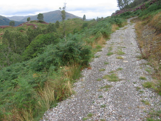
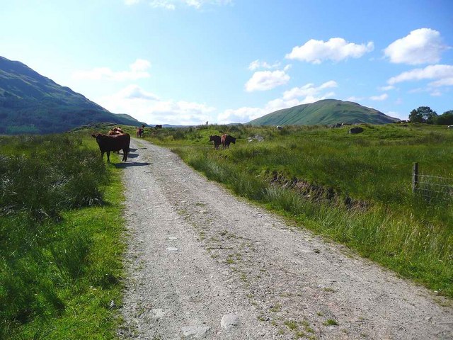
The track through the glen is also suitable for cycling. See the video below for a good view of the track.
For more walking ideas in the area see the Loch Lomond and the Trossachs Walks page.
Cycle Routes and Walking Routes Nearby
Photos
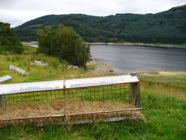
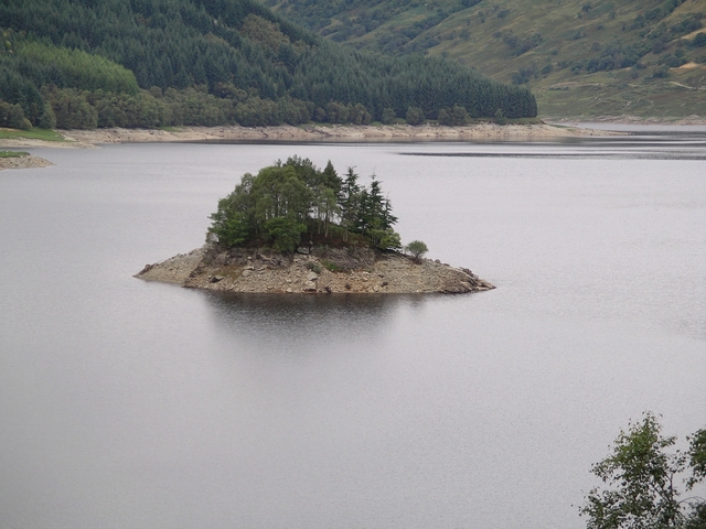
Glen Finglas Reservoir. Looking south-west near Duart. The original Duart is probably now under the waters of the reservoir, maybe housed 4-5 families and had common grazing.


