Loch Katrine Walk and Cycle
![]()
![]() This super cycle and walking route takes you on the lochside path around Loch Katrine in the Loch Lomond and the Trossachs National Park. You start off at the Trossachs Pier and Visitor centre at the south eastern end of the loch where cycle hire is available. You then pick up the excellent tarmac path which starts off fairly flat but does have some climbs along the way. There are great views over the loch and to the surrounding hills and mountains. You'll also pass Glengyle House, the birthplace of Robert Roy MacGregor, the Scottish outlaw and folk hero.
This super cycle and walking route takes you on the lochside path around Loch Katrine in the Loch Lomond and the Trossachs National Park. You start off at the Trossachs Pier and Visitor centre at the south eastern end of the loch where cycle hire is available. You then pick up the excellent tarmac path which starts off fairly flat but does have some climbs along the way. There are great views over the loch and to the surrounding hills and mountains. You'll also pass Glengyle House, the birthplace of Robert Roy MacGregor, the Scottish outlaw and folk hero.
The path runs for about 13 miles through woodland and countryside to Stronachlachar on the western side of the loch. Here you can catch the ferry back to Trossachs Pier or if you'd like to extend your outing head to the nearby Loch Arklet or Loch Ard. There's also another great cycling and walking trail along Loch Venachar and Loch Drunkie.
Just to the east you will find Glen Finglas where you can enjoy a waymarked walk to the Glen's rivers, streams, waterfalls and reservoir.
The climb to Ben Venue also starts from the car park at Loch Achray, close to Loch Katrine. It's a popular walk with great views back down to the lochs.
Postcode
FK17 8HZ - Please note: Postcode may be approximate for some rural locationsPlease click here for more information
Loch Katrine Ordnance Survey Map  - view and print off detailed OS map
Loch Katrine Open Street Map  - view and print off detailed map
*New* - Walks and Cycle Routes Near Me Map - Waymarked Routes and Mountain Bike Trails>>
Loch Katrine OS Map  - Mobile GPS OS Map with Location tracking
Loch Katrine Open Street Map  - Mobile GPS Map with Location tracking
Explore the Area with Google Street View 
Further Information and Other Local Ideas
To the west there are more nice trails around the adjacent Loch Arklet. Just to the south there's another nice circular trail to follow around the scenic Loch Chon.
For more walking ideas in the area see the Loch Lomond and the Trossachs Walks and the Queen Elizabeth Forest Park pages.
Cycle Routes and Walking Routes Nearby
Photos
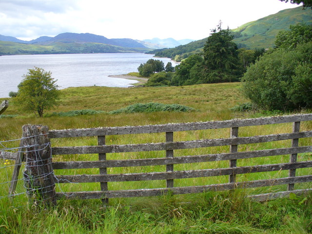
By Letter, Loch Katrine. There are a few scattered crofts along the shores of the loch ( a reservoir for Glasgow water). The lochside fields are mainly grass with some bracken. Sheep graze the upper side of the lochside track.
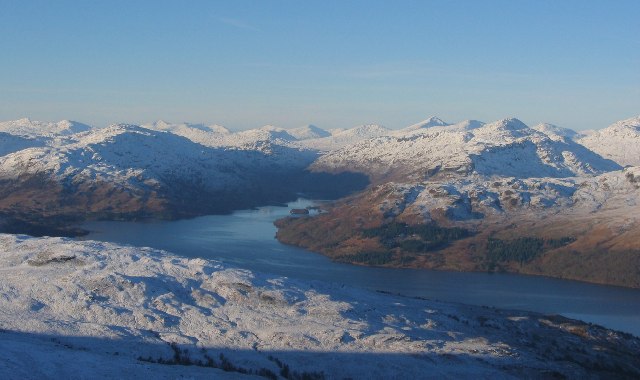
Loch Katrine from Ben Venue. The loch is Glasgow's main water supply, linked to the city by an aqueduct. It's a natural loch, but the level has been raised by a sluice at its outflow, below Ben Venue.


