Glynllifon Country Park
![]()
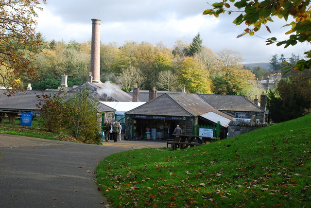
![]() Explore the woodland, gardens, parkland and riverside in this beautiful country park in Gwynedd. The park and gardens are Grade One listed and home to some of the rarest flora and fauna in the Wales. Glynllifon contains many lovely walking trails including one through woodland and along the River Llifon with follies and sculptures along the way. There is also a cafe and a maze and exhibits such as steam power pistons restored by Fred Dibnah.
Explore the woodland, gardens, parkland and riverside in this beautiful country park in Gwynedd. The park and gardens are Grade One listed and home to some of the rarest flora and fauna in the Wales. Glynllifon contains many lovely walking trails including one through woodland and along the River Llifon with follies and sculptures along the way. There is also a cafe and a maze and exhibits such as steam power pistons restored by Fred Dibnah.
The park sits next to the Lon Eifion Cycle/Walk Route which runs along a disused railway line. If you'd like to extend your walking in the area then this is a good option. The surfaced path has great views of the Welsh Highland Railway and Snowdonia National Park.
Postcode
LL54 5DY - Please note: Postcode may be approximate for some rural locationsGlynllifon Country Park Ordnance Survey Map  - view and print off detailed OS map
Glynllifon Country Park Open Street Map  - view and print off detailed map
Glynllifon Country Park OS Map  - Mobile GPS OS Map with Location tracking
Glynllifon Country Park Open Street Map  - Mobile GPS Map with Location tracking
Pubs/Cafes
The on site Black Cat Cafe is the perfect place for refreshments after your walk. They have a good menu and some outdoor seating with nice views.
Dog Walking
The park is a lovely place to walk the dog and you'll probably see plenty of other owners on your outing. You are advised to please keep them on leads. The cafe mentioned above is also dog friendly.
Further Information and Other Local Ideas
Head west to the coast and you could visit the Iron Age Hillfort and beautiful beach on the Dinas Dinlle Coastal Walk.
Cycle Routes and Walking Routes Nearby
Photos
Ornamental Bridges, Glynllifon Country Park. This photograph was taken in late November 2004 with a small Nikon digital camera, using a tree trunk to steady the camera during exposure because of the low light levels. The view is eastwards in a wood named "Gwern-y-felin."
River at Plas Glynllifon. Running in front of the mansion house in the country park, the river cuts through the park.
The main drive towards the front of Plas Glynllifon house. This drive follows the south bank of the Llifon and runs through ornamental gardens and woodlands.
Plas Glynllifon. This was the seat of the Newborough family until 1948 when death duties forced them to sell the estate. In 1954 an agricultural college was established in the parkland, which today, in an expanded form, is known as Coleg Meirion-Dwyfor. The main house was built in the 1830s by the 3rd Lord Newborough.


