Lon Eifion
![]()
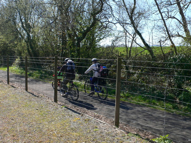
![]() This splendid cycling and walking trail runs along a disused railway path from Caernarfon to Bryncir on the edge of the Snowdonia. It's a good surfaced traffic free path making it ideal for a safe family cycle or a leisurely walk. There are lovely views of the surrounding Welsh Countryside and mountains such as Yr Eifl (or the Rivals) and Snowdon.
This splendid cycling and walking trail runs along a disused railway path from Caernarfon to Bryncir on the edge of the Snowdonia. It's a good surfaced traffic free path making it ideal for a safe family cycle or a leisurely walk. There are lovely views of the surrounding Welsh Countryside and mountains such as Yr Eifl (or the Rivals) and Snowdon.
The route runs alongside the Welsh Highland Railway so you should also see some wonderful steam trains as you go.
The route starts at Caernarfon at the impressive Caernarfon Castle, and heads south through the town, crossing the River Seiont on the way. You continue to Llanwnda and Groeslon where you pass the lovely Glynllifon Country Park. It's well worth taking a short detour from the path and visiting the park with its woodland, gardens, parkland and river. There is also a cafe, a maze and exhibits such as steam power pistons restored by Fred Dibnah.
The route continues through Penygroes before the final stretch takes you to the finish point at the little village of Bryncir.
The route uses part of National Cycle Route 8 or Lon Las Cymru. This long distance route can be used to extend the ride.
The northern section is known as Lon Las Menai. It runs north from Caernarfon to the old slate harbour of Port Dinorwig (Y Felinheli).
Lon Eifion Ordnance Survey Map  - view and print off detailed OS map
Lon Eifion Open Street Map  - view and print off detailed map
Lon Eifion OS Map  - Mobile GPS OS Map with Location tracking
Lon Eifion Open Street Map  - Mobile GPS Map with Location tracking
Further Information and Other Local Ideas
Head south along the coast from Caernarfon and you could visit the Iron Age Hillfort and beautiful beach on the Dinas Dinlle Coastal Walk.
For more walking ideas in the area see the Snowdonia Walks and Llyn Peninsula Walks pages.
Cycle Routes and Walking Routes Nearby
Photos
Lôn Eifion Bryncir. This is the end of Lôn Eifion which runs along the trackbed of the former railway which ran from Caernarfon to Afonwen junction. At the site of Bryncir station National Cycle Route 8 - Lôn Las Cymru - leaves the route of the railway and heads down country lanes to Criccieth.
Old railway bridge now carrying the Lon Eifion cycleway. This bridge carried the Afonwen to Caernarfon railway. The line was closed in the 1960s but has now been tarred to provide an excellent walking/cycling route.
Plas Dinas Bridge. The bridge crossing the WHR track and Lon Eifion Cycle Route carries the private drive that leads to Plas Dinas, the boyhood home of Antony Armstrong-Jones - Lord Snowdon.


