Gorpley Reservoir
![]()
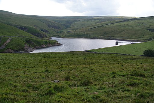
![]() This walk visits Gorpley Clough and Reservoir in Todmorden. The small reservoir and woodland area are located just west of the town. It's a fairly quiet place making for a pleasant and peaceful walk.
This walk visits Gorpley Clough and Reservoir in Todmorden. The small reservoir and woodland area are located just west of the town. It's a fairly quiet place making for a pleasant and peaceful walk.
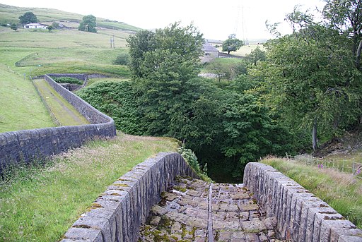
You can start your walk from the Gorpley Clough car park off the A61 just west of Todmorden. From here you can pick up footpaths heading south west through the woodland of Gorpley Clough. On the way you'll pass the scenic Walker's Waterfall before coming to the small reservoir. Here you can enjoy some waterside footpaths before heading back on the same paths.
Postcode
OL14 7HH - Please note: Postcode may be approximate for some rural locationsGorpley Reservoir Ordnance Survey Map  - view and print off detailed OS map
Gorpley Reservoir Open Street Map  - view and print off detailed map
Gorpley Reservoir OS Map  - Mobile GPS OS Map with Location tracking
Gorpley Reservoir Open Street Map  - Mobile GPS Map with Location tracking
Pubs/Cafes
The woodland of the clough and the waterside trails at the reservoir make for a fine dog walk.
Further Information and Other Local Ideas
To extend your walking in the area you could pick up the Todmorden Centenary Way, the Todmorden to Hebden Bridge Canal Walk or the Calderdale Way.
There's also a number of footpaths running onto the adjacent Inchfield Moor and Oatley Hill.
Cycle Routes and Walking Routes Nearby
Photos
Gorpley Clough. This is an unspoilt area of natural woodland with many waterfalls, and it is crossed by a number of wooden bridges.


