Todmorden to Hebden Bridge Canal Walk
![]()
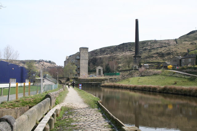
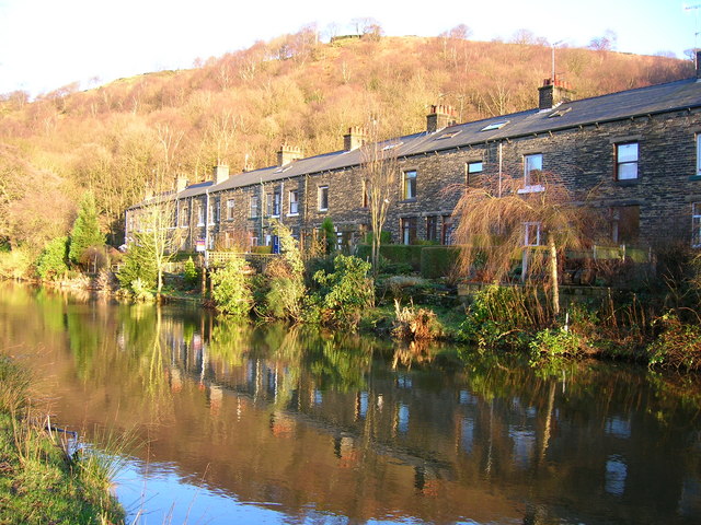
![]() This walk follows a popular section of the Rochdale Canal from Todmorden to Hebden Bridge. It follows the flat towpath for just under 5 miles, so it's ideal for an easy afternoon stroll. Along the way there's several pretty locks, old bridges, historic mills and nice views of the River Calder which runs alongside part of the canal.
This walk follows a popular section of the Rochdale Canal from Todmorden to Hebden Bridge. It follows the flat towpath for just under 5 miles, so it's ideal for an easy afternoon stroll. Along the way there's several pretty locks, old bridges, historic mills and nice views of the River Calder which runs alongside part of the canal.
The route starts in Todmorden and heads east along the towpath, passing Millwood, Lobb Mill, Eastwood, Charlestown and Calderside before coming into Hebden Bridge. Here you can catch a train directly back to Todmorden or return along the towpath on foot if you prefer.
To extend the walk you could continue to Sowerby Bridge on the Hebden Bridge Canal Walk. The route visits the villages of Mytholmroyd and Luddendenfoot before arriving at Sowerby Bridge. Here you will find Sowerby Bridge Wharf, the terminal basin of the Calder and Hebble Navigation Canal, and its interchange with the Rochdale Canal.
Todmorden to Hebden Bridge Canal Walk Ordnance Survey Map  - view and print off detailed OS map
Todmorden to Hebden Bridge Canal Walk Open Street Map  - view and print off detailed map
*New* - Walks and Cycle Routes Near Me Map - Waymarked Routes and Mountain Bike Trails>>
Todmorden to Hebden Bridge Canal Walk OS Map  - Mobile GPS OS Map with Location tracking
Todmorden to Hebden Bridge Canal Walk Open Street Map  - Mobile GPS Map with Location tracking
Pubs/Cafes
In Hebden Bridge there's the excellent Rim Nam Thai Restaurant. It's located in a wonderful spot right on the canal side just a short distance from The Hebden Bridge Picture House. It's a great place to enjoy a fine meal with a lovely scenic view. You can find it at Butlers Wharf at postcode HX7 8AF. A little to the west of the town centre there's also the noteworthy Fox & Goose Inn. The pub is the first community-owned pub in West Yorkshire. The friendly place is well worth some investigation with its cosy interior with a roaring fire and an exhibition space for local artists to display their work. Outside there's a lovely hillside beer garden which is great on warmer days. The place is also very dog friendly and will provide water bowls and free biscuits. You can find the pub at 7 Heptonstall Road with a postcode of HX7 6AZ for your sat navs.
At the other end of the walk there's the The Golden Lion in Todmorden. It's located right next to the canal and has an outdoor area with views over the water. They do excellent Thai food and have a good selection of craft beers too. You can find them at Fielden Square with a postcode of OL14 6LZ for your sat navs. The pub is also dog friendly if you have your canine friend with you.
Further Information and Other Local Ideas
Just to the west of Todmorden there's some nice peaceful trails around the woodland of Gorpley Clough and the adjacent Gorpley Reservoir.


