Gragareth Walk
![]()
![]() This walk climbs to Gragareth Mountain on the border of Lancashire and North Yorkshire.
This walk climbs to Gragareth Mountain on the border of Lancashire and North Yorkshire.
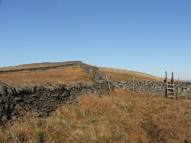
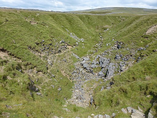
The mountain is significant as the second highest point in Lancashire, after Green Hill near Cowan Bridge. It's an interesting place for a walk with several caves, a wall running along the county border and a series of cairns known as the Three Men of Gragareth.
This circular walk takes you up to the summit from the popular village of Ingleton which lies a few miles south east of the fell. Start the walk from the public car park on the western side of the river in the village. Then follow trails north Thornton Hall and the Tow Scar Track. This will lead you to the Turbary Road, a track that will take past a series of caves to Bullpot Bank. From here you turn west to reach the Gragareth Summit which stands at a height of 627 metres (2,057 ft).
From the summit there are excellent views over the Yorkshire Dales, Morecambe Bay, the Lake District fells, the Howgill Fells, Ingleborough and the Forest of Bowland.
You continue west towards the Three Men of Gragareth, a photogenic spot just south west of the summit trig. You continue south along the boundary wall to Ireby Fell before descending south east to the Thornton Road. Follow this south and it will take you back towards Ingleton.
Gragareth Ordnance Survey Map  - view and print off detailed OS map
Gragareth Open Street Map  - view and print off detailed map
Gragareth OS Map  - Mobile GPS OS Map with Location tracking
Gragareth Open Street Map  - Mobile GPS Map with Location tracking
Further Information and Other Local Ideas
The route passes close to Yordas Cave which is worth a small detour. You can explore the cave which includes a large main chamber with a waterfall and a stream running through it.
To continue your walking in the area you could head to one of the area highlights at Ingleton Falls. The hugely popular trail visits 5 beautiful waterfalls with some splendid geology, and views of the River Twiss and River Doe .


