Wickhambreaux Walks
![]()
![]() This historic village in Kent is located near Canterbury in a lovely rural spot. The settlement includes a 13th-century parish church, a clapboard mill with working water wheel and a medieval village green.
This historic village in Kent is located near Canterbury in a lovely rural spot. The settlement includes a 13th-century parish church, a clapboard mill with working water wheel and a medieval village green.
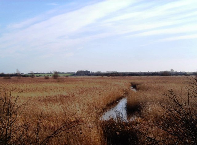
This circular walk from the village the wildlife rich Stodmarsh National Nature Reserve where you can enjoy some lovely riverside walks and look out for a wide variety of wildlife.
The walk starts in Wickhambreaux and follows footpaths north to the neighbouring village of Stodmarsh. Here you can pick up a section of the Stour Valley Way and follow the waymarked footpath through the reserve and along the River Great Stour. Follow the river east and it will take you to Grove Ferry where there's a picnic site, boat trips and a fine riverside pub.
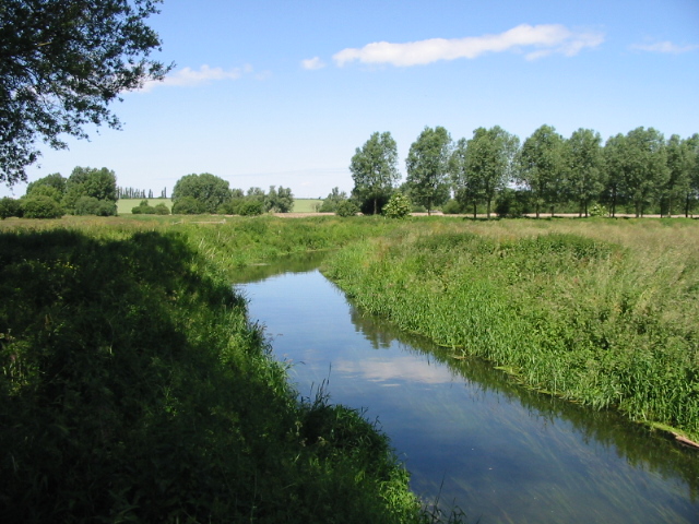
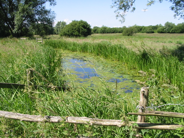
The walk then takes you through the Wickhambreaux Valley to Grove where you can pick up a footpath along the River Little Stour, a chalk stream that can be followed from Wickhambreaux to West Stourmouth. This will take you south through the Newnham Valley, passing Wenderton Hoath and a series of lakes from flooded Gravel Pits. This path will eventually lead you back to Wickhambreaux.
Postcode
CT3 1RQ - Please note: Postcode may be approximate for some rural locationsWickhambreaux Ordnance Survey Map  - view and print off detailed OS map
Wickhambreaux Open Street Map  - view and print off detailed map
Wickhambreaux OS Map  - Mobile GPS OS Map with Location tracking
Wickhambreaux Open Street Map  - Mobile GPS Map with Location tracking
Pubs/Cafes
The neighbouring village of Ickham lies just to the south and includes the Duke William pub. It's a quintessential Kentish pub with a roaring log fire inside and a garden with a heated patio outside. They serve good food and can be found at postcode CT3 1QP for your sat navs. The pub is dog friendly.


