Gwaun Valley
![]()
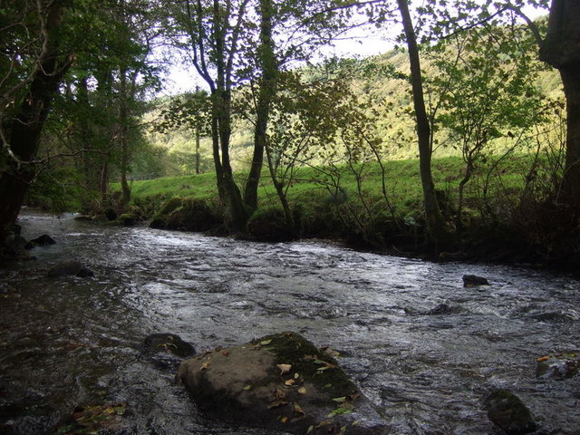
![]() This walk takes you through the delightful Gwaun Valley, near Fishguard. The steep sided valley includes riverside paths, attractive woodland, water meadows and pretty bluebells in the spring. This walk runs from Llanychaer to Pontfaen on fairly flat paths, for a distance of about 2.5 miles (so just over 5 miles there and back).
This walk takes you through the delightful Gwaun Valley, near Fishguard. The steep sided valley includes riverside paths, attractive woodland, water meadows and pretty bluebells in the spring. This walk runs from Llanychaer to Pontfaen on fairly flat paths, for a distance of about 2.5 miles (so just over 5 miles there and back).
The walk starts from Llanychaer and follows footpaths east along the Afon Gwaun. You'll pass the woodland of Tre-llwyn Wood where you can look out for a variety of woodland bids including like redstarts, nuthatches and sparrowhawks. The route also passes Llanychaer churchyard where you can see the 1200 year old Crucifixion Stone.
To extend your walking in the area you can head to Fishguard and pick up the wonderful Pembrokeshire Coast Path. If you follow it north east it will take you to Dinas Head. The lovely headland commands great views over Fishguard Bay.
Gwaun Valley Ordnance Survey Map  - view and print off detailed OS map
Gwaun Valley Open Street Map  - view and print off detailed map
Gwaun Valley OS Map  - Mobile GPS OS Map with Location tracking
Gwaun Valley Open Street Map  - Mobile GPS Map with Location tracking
Further Information and Other Local Ideas
Just east of Dinas Head is the delightful town of Newport. The picturesque settlement is well worth visiting with its sandy beach, excellent variety of shops and cafes, and some fine trails along the River Nevern Estuary.
Also to th east there's the climb to Carn Ingli in the Preseli Hills. It's a worthy climb with a number of fascinating ancient sites dating from the Iron Age and the Bronze Age. There's also some glorious views to the coast from the summit.


