Hailsham Walks
![]()
![]() This historic market town is located in the Wealden district of East Sussex
This historic market town is located in the Wealden district of East Sussex
Walking highlights in the area include the popular Cuckoo Trail, a shared cycling and walking route running along an old railway line from Heathfield towards the coast at Eastbourne.
Just south west there's Abbot's Wood and Wilmington Woods where you will find miles of walking paths and mountain bike trails.
The long distance Wealdway can also be picked up to the west of the town.
This walk from Hailsham takes you west to visit the historic Michelham Priory.
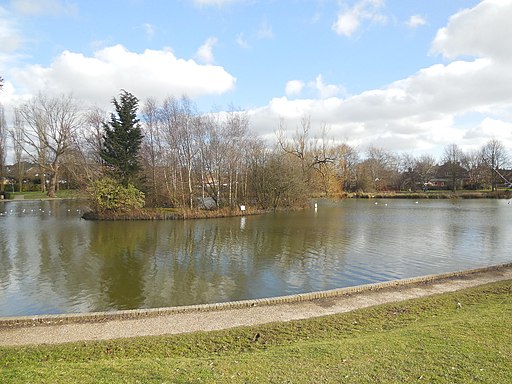
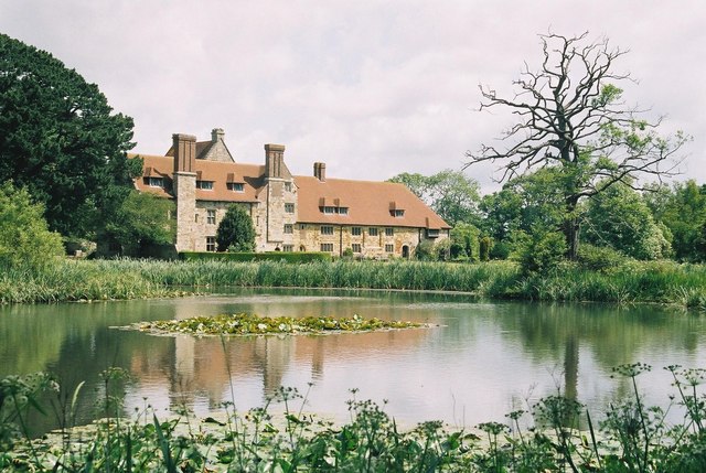
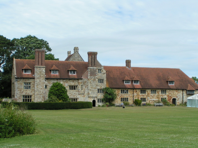
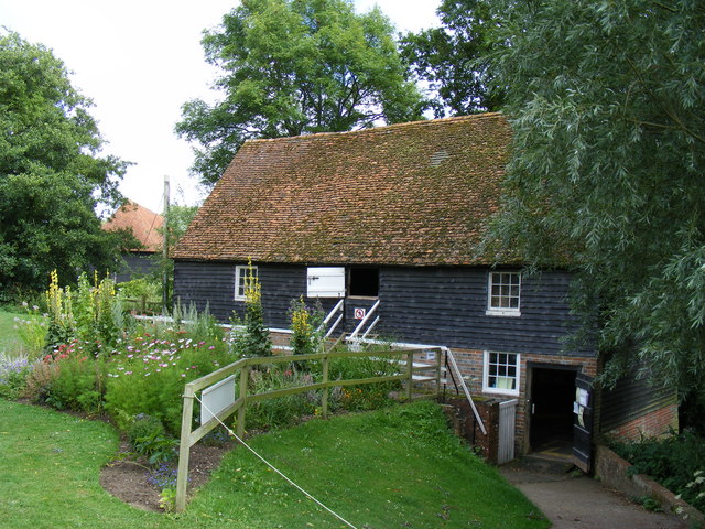
You can start the walk in the town next to the picturesque Hailsham Pond. From here you can pick up a section of the Cuckoo Trail and follow it north before turning west to pick up the Wealdway near Welbury Farm. The waymarked footpath will then take you west to the priory. The former Augustine Priory dates from the 13th century and includes some original buildings which are Grade I and Grade II listed. It's a lovely place for a stroll with the photgenic old priory buildings, a long moat, a water mill and some lovely gardens to admire.
Hailsham Ordnance Survey Map  - view and print off detailed OS map
Hailsham Open Street Map  - view and print off detailed map
Hailsham OS Map  - Mobile GPS OS Map with Location tracking
Hailsham Open Street Map  - Mobile GPS Map with Location tracking
Walks near Hailsham
- Abbot's Wood Sussex - Explore miles of walking and cycling trails in these extensive woods in Arlington, Sussex
- Cuckoo Trail - This traffic free cycle and walking path runs along a disused railway line from Heathfield to the outskirts of Eastbourne.
- Arlington Reservoir - Enjoy a nice easy stroll around the pretty Arlington Reservoir on this short circular walk near Hailsham
- Wealdway - Follow the Wealdway from the River Thames at Gravesend to Eastbourne on the Sussex coast
- Herstmonceux Castle - This circular walk explores the grounds of the historic Herstmonceux Castle in East Sussex.
- 1066 Country Walk - Follow in the steps of William the Conqueror on this historic walk through the Sussex countryside which commemorates the famous battle in 1066.
- Pevensey Castle - This walk takes you around the historic Pevensey Castle in East Sussex.
- Heathfield - This East Sussex market town is in a good location for exploring the woods and countryside of the High Weald
Further Information and Other Local Ideas
For some fascinating local history head a few miles east to visit Herstmonceux Castle. The 15th century moated castle is surrounded by 300 acres of parkland, gardens and woodland which are ideal for a pleasant afternoon stroll. The epic 1066 Country Walk can also be picked up here.


