Hanmer Mere
![]()
![]() This walk in Wrexham visits the pretty Hanmer Mere. You can start the walk in the little village of Hanmer and then pick up a footpath heading south along the eastern side of the water. Despite being located in Wales it is considered part of the Shropshire lake district.
This walk in Wrexham visits the pretty Hanmer Mere. You can start the walk in the little village of Hanmer and then pick up a footpath heading south along the eastern side of the water. Despite being located in Wales it is considered part of the Shropshire lake district.
The Maelor Way passes through the village, providing an opportunity for extending your walk. You could follow it east toward Bronington, Whitewell and Whitchurch. Heading west will take you to Penley and Overton.
Postcode
SY13 3DQ - Please note: Postcode may be approximate for some rural locationsHanmer Mere Ordnance Survey Map  - view and print off detailed OS map
Hanmer Mere Open Street Map  - view and print off detailed map
Hanmer Mere OS Map  - Mobile GPS OS Map with Location tracking
Hanmer Mere Open Street Map  - Mobile GPS Map with Location tracking
Pubs/Cafes
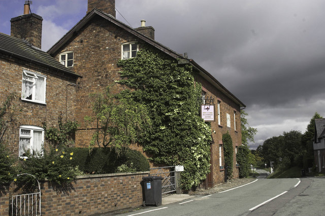
Head into the village and you can enjoy post walk refreshments at The Hanmer Arms. The 16th century inn has an attractive interior with wood burning stoves and authentic pub decor. There's also a lovely garden area where you can go for a stroll afterwards. You can find them at postcode SY13 3DE for your sat navs.
Dog Walking
It's a nice little walk to do with the dogs and the Hanmer Arms mentioned above is also dog friendly.
Further Information and Other Local Ideas
To continue your waterside walking in the area head south into Shropshire to visit Ellesmere Lake and Colemere Country Park. Here you'll find more of the meres that make up the popular Shropshire Lakes.
Along the canal from Colemere there's also the Fenns, Whixall and Bettisfield Mosses National Nature Reserve. The noteworthy reserve straddles the border between England and Wales. It is a significant site being one of the biggest and best raised bogs in Britain. The area is great for flora and fauna and also includes the old Ellesmere Canal.
For more walking ideas in the area see the Shropshire Walks page.


