Walks Harleston Norfolk
![]()
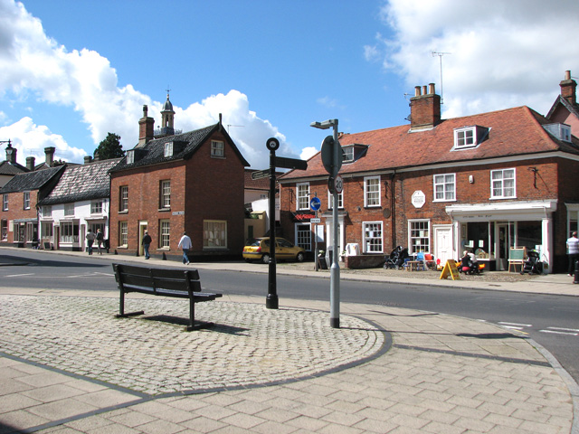
![]() This town in South Norfolk has some pleasant river trails through the Waveney Valley and an attractive town centre with several Georgian buildings to admire.
This town in South Norfolk has some pleasant river trails through the Waveney Valley and an attractive town centre with several Georgian buildings to admire.
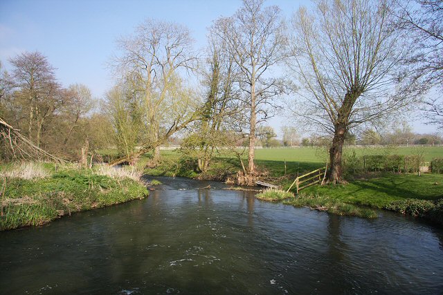
This circular walk from the town uses sections of the Angles Way to visit the neighbouring settlements of Mendham and Weybread. Along the way there's some pleasant countryside and views of the River Waveney which winds its way through the area.
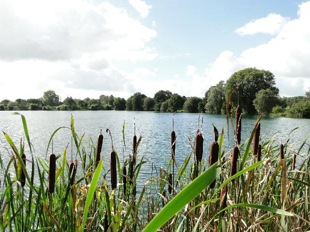
The walk starts in the town centre where you can pick up the Angles Way and follow the waymarked footpath east through the countryside to Mendham in Suffolk. Here you turn south west to follow public footpaths along the River Waveney through Mendham Marshes. You continue west towards Weybread before turning north towards the lakes at Shotford Heath. Shortly after you cross the river and return to the town centre.
Postcode
IP20 0BB - Please note: Postcode may be approximate for some rural locationsHarleston Ordnance Survey Map  - view and print off detailed OS map
Harleston Open Street Map  - view and print off detailed map
*New* - Walks and Cycle Routes Near Me Map - Waymarked Routes and Mountain Bike Trails>>
Harleston OS Map  - Mobile GPS OS Map with Location tracking
Harleston Open Street Map  - Mobile GPS Map with Location tracking
Walks near Harleston
- Angles Way - This splendid walk through the Norfolk Broads was voted the best waterside walk in Britain by waterscape.com in 2003
- Diss - The attractive market town of Diss has some nice options for walkers with the pretty mere and the River Waveney in the vicinity
- Boudicca Way - Follow the Boudicca Way from Norwich to Diss on this walk through the beautiful, unspoilt South Norfolk landscape
- Stowmarket - Enjoy a walk along the River Gipping on this walk from Stowmarket to Needham Market
- Gipping Valley River Path - Follow the River Gipping from Stowmarket to Ipswich on this pleasant riverside walk
- Ipswich - A circular walk around Ipswich with lovely river views and visits to a series of attractive parks
- Needham Lake - Enjoy an easy stroll around Needham Lake on this short walk in Needham Market
- Bradfield Woods - This National Nature Reserve near Bury St Edmunds is one of the best places in Suffolk for wildlife
- Thornham Magna - This attractive Suffolk village includes a 14th century church, a fine 15th century pub and wonderful walking trails in the Thornham Hall Estate.
- Eye - This walk visits the Suffolk market town of Eye
- Bungay Riverside Walk - This circular walk takes you along the River Waveney in the Suffolk town of Bungay
- Coddenham - This walk explores the parkland, countryside and rivers around the Suffolk village of Coddenham
Pubs/Cafes
Back in the town you can enjoy some post exercise rest and refreshment at The Cap. The pub has a good selection of ales and serves a fine Sunday roast. You can find them at a postcode of IP20 0BB for your sat navs.
Photos
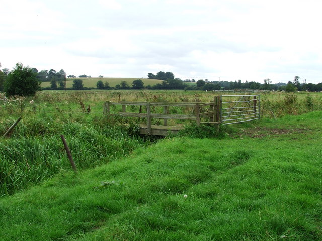
Mendham Marshes. Gate and stile on the public footpath across Mendham Marshes near to Withersdale Street Suffolk.


