Harrold Odell Country Park
![]()
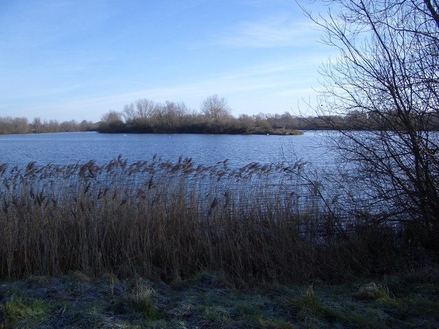
![]() This park has two pretty lakes set in 144 acres of country park. It is located between Bedford and Northampton on the River Great Ouse near the villages of Harrold and Odell in Bedfordshire. You will find river meadows, a nature reserve, two picturesque lakes and a range of managed habitats. There is also free parking and refreshments in the Tea-Zels Cafe.
This park has two pretty lakes set in 144 acres of country park. It is located between Bedford and Northampton on the River Great Ouse near the villages of Harrold and Odell in Bedfordshire. You will find river meadows, a nature reserve, two picturesque lakes and a range of managed habitats. There is also free parking and refreshments in the Tea-Zels Cafe.
There are a number of well maintained walking paths around the lakes and through the nature reserve while cycling is permitted along the lakeside bridleway. The North Bedfordshire Heritage Trail also runs through the park so there is scope for continuing your walk if you have time.
You could follow the trail east to visit nearby Felmersham and Sharnbrook where you'll find pleasant riverside trails, a Norman church, a wildlife rich local nature reserve and a delightful mill theatre converted from the historic old water mill.
Postcode
MK43 7DS - Please note: Postcode may be approximate for some rural locationsPlease click here for more information
Harrold Odell Country Park Ordnance Survey Map  - view and print off detailed OS map
Harrold Odell Country Park Open Street Map  - view and print off detailed map
Harrold Odell Country Park OS Map  - Mobile GPS OS Map with Location tracking
Harrold Odell Country Park Open Street Map  - Mobile GPS Map with Location tracking
Pubs/Cafes
Head west into Harold and you could enjoy some post walk refreshments in the ancient Oakley Arms Pub. The 400 year old thatched inn serves high quality dishes and a good range of drinks. You can find them on the High Street at postcode MK43 7BH for your sat navs.
Dog Walking
The park is a nice place for a dog walk although they are not permitted in the Nature Reserve in order to prevent disturbance to the wildlife. The Oakley Arms pub mentioned above is dog friendly.
Further Information and Other Local Ideas
Head south from the park and you can visit the lovely village of Turvey. Here you can try the Turvey Circular Walk which uses part of the Milton Keynes Boundary Walk to explore the area around the historic village. The picturesque village includes a medieval bridge, a 17th century abbey and views of the River Great Ouse.
Just to the south east you can pick up the circular Stevington Country Walk. This uses sections of the John Bunyan Trail and the Ouse Valley Way to visit the restored Stevington Windmill and the villages of Oakley and Pavenham.
For more walking ideas in the area see the Bedfordshire Walks page.
Cycle Routes and Walking Routes Nearby
Photos
Footpath & Bridge in the park. There is a public footpath all the way around the principal pond within the Country Park which is a highly popular spot for walkers and for recreational use. This bridge takes the footpath over a lateral drainage ditch on the north-western side of the park.
The War Memorial and the Market Place, Harrold. A nice view of the village of Harold which lies just to the west of the park. The small village is a pleasant place for a stroll after visiting the park. An ancient bridge links the village with Carlton with Chellington on the south bank of the River Great Ouse.


