Hartland Quay
![]()
![]() This circular walk around the Hartland Peninsula takes in some beautiful coastal views, interesting rock formations, plunging waterfalls and the little village of Stoke. There are great views towards Lundy Island and a variety of sea birds to look out for along the way.
This circular walk around the Hartland Peninsula takes in some beautiful coastal views, interesting rock formations, plunging waterfalls and the little village of Stoke. There are great views towards Lundy Island and a variety of sea birds to look out for along the way.
The walk starts at the Hartland Quay car park and heads south along the coast passing Screda Point, St Catherine's Point, St Catherine's Tor and Speke's Mill. There are pretty streams, waterfalls and in the summer months various pretty plants suchs as yellow flag irises, foxgloves and campion.
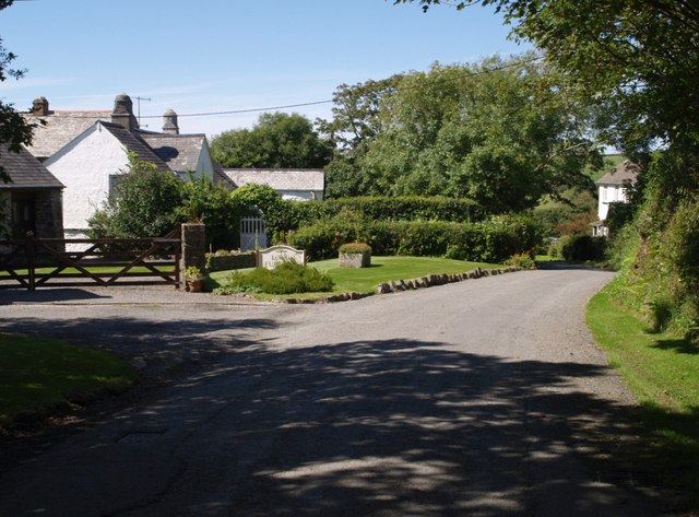
At Speke's Mill Mouth you head inland through the countryside to Lymebridge before turning north towards the village of Stoke. The village has a 14th century church and tea rooms where you can stop for refreshments.
From Stoke it is a short walk back to the Hartland Quay car park although you could take a short detour to visit the fascinating Hartland Abbey. The 12th century abbey has lovely grounds and gardens with the Abbey River flowing through.
To extend your walk you can follow the South West Coast Path north to Hartland Point where you will pass the 19th century lighthouse.
There's also dramatic cliffs and views of the shipwreck Johanna at this spot where the Bristol Channel meets the Atlantic Ocean.
Postcode
EX39 6DU - Please note: Postcode may be approximate for some rural locationsHartland Quay Ordnance Survey Map  - view and print off detailed OS map
Hartland Quay Open Street Map  - view and print off detailed map
Hartland Quay OS Map  - Mobile GPS OS Map with Location tracking
Hartland Quay Open Street Map  - Mobile GPS Map with Location tracking
Explore the Area with Google Street View 
Pubs/Cafes
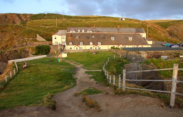
After your walk head to the Hartland Quay Hotel for some post walk refreshment. Inside there's a nice bar and some interesting memorabilia charting the history of the area. There's also a good outdoor seating area where you can enjoy a meal with wonderful views. You can find them at postcode EX39 6DU.
Dog Walking
The area makes for a bracing dog walk and the hotel mentioned above is also dog friendly.
Further Information and Other Local Ideas
Head south and you can enjoy some lovely waterside trails around the Tamar Lakes near Holsworthy.
Head south along the coast path and you could visit the Welcombe and Marsland Valleys Nature Reserve and Morwenstow. The area is run by the National Trust and includes some fine cliff top trails. It's also historically significant with a thousand year old church, a 14th century farm and the noteworthy Hawker's Hut. This unusual structure sits in a photogenic spot and was built using driftwood by local vicar and poet Rev. Robert Stephen Hawker.
For more walking ideas in the area see the Devon Walks page.
Cycle Routes and Walking Routes Nearby
Photos
Car park at Hartland Quay. One of Britain's more dramatically located car parks, overlooking Cowhouse Race at Hartland Quay. Seen from the coast path, here following Hartland Footpath 14 on its steep descent.
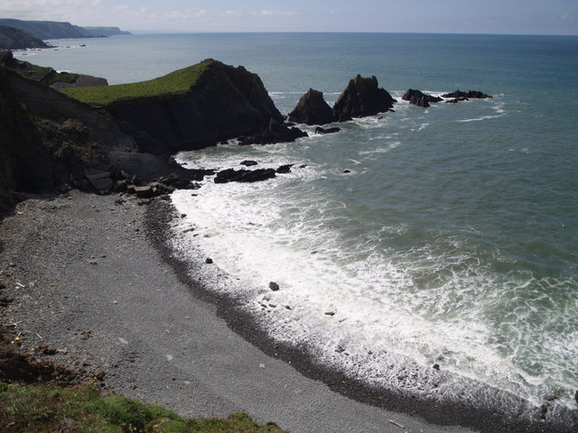
Screda Point. This is the bay immediately south of the quay, with the headland and rocks of Screda Point jutting out on its southern side.
Waterfall below St. Catherine’s Tor. Coastal erosion has chopped away both sides of a valley which circles the headland known as St. Catherine’s Tor, and this waterfall on Wargery Water is one of total of 33 (Steers: "Coastline of England & Wales",1946) along this coast that have been created by the resultant hanging valleys. According to Steers, Wargery Water originally continued northwards on the inland side of Screda Point and the Quay, so that its valley has been interrupted at numerous points by the sea. Below is Childspit Beach.


