Haslingden Grane Walk
![]()
![]() This area of moorland in Rossendale includes several historic ruined farmhouses and a series of picturesque reservoirs.
This area of moorland in Rossendale includes several historic ruined farmhouses and a series of picturesque reservoirs.
The striking glaciated valley of the River Ogden, lies west of Haslingden and in the north east section of the West Pennine Moors.
You can start the walk from the Haslingden Grane car park which lies just to the north of Calf Hey Reservoir, just off the Grane Road.
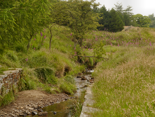
From here you can pick up footpaths heading west to the Ruins of Lower Ormerods Farm and Edgerton Moss. The route then heads past some pretty streams to Calf Hey Reservoir where you can enjoy some lovely waterside trails.
Part of the walk uses a section of the Rossendale Way. You could continue along this waymarked path to further explore the area.
Just to the east there's Ogden Reservoir and the town of Haslingfield where you could enjoy a climb to the viewpoint at Haslingden Halo.
Heading north will take you to Oswaldtwistle Moor and its photogenic wind farm.
Postcode
BB44AU - Please note: Postcode may be approximate for some rural locationsHaslingden Grane Ordnance Survey Map  - view and print off detailed OS map
Haslingden Grane Open Street Map  - view and print off detailed map
Haslingden Grane OS Map  - Mobile GPS OS Map with Location tracking
Haslingden Grane Open Street Map  - Mobile GPS Map with Location tracking
Cycle Routes and Walking Routes Nearby
Photos
The Ruins of Lower Ormerods The ruins of several small settlements in Haslingden Grane can still be seen today. This one, known as “Lower Ormerods”, dates back to the seventeenth century and was made from a type of stone known as Haslingden Flag, quarried locally. Lower Ormerods, as its name suggests, was owned by the Ormerod family who were one of the wealthiest families in the area, owning several farms on the hillside. It remained in the Ormerod family until sold by John Ormerod in 1746. Towards the end of the eighteenth century Lower Ormerods, as at Hartley House, became a centre for weaving with a loom shop being added to the back of the building. With the industrial revolution and the development of factories, “home” weaving declined and by the time of the 1871 census the farm itself consisted of just nine acres farmed by John Kenyon, who employed his daughter as a dairymaid. Five other members of the family were working as cotton weavers at the Calf Hey cotton mill. The last recorded farming at Lower Ormerods was in 1899. Soon after that date, it was abandoned and gradually fell into ruin.


