Hatfield Moors Walks
![]()
![]() This expansive site of Special Scientific Interest is a great place for walks and wildlife. The area is located just a few miles east of Doncaster in South Yorkshire.
This expansive site of Special Scientific Interest is a great place for walks and wildlife. The area is located just a few miles east of Doncaster in South Yorkshire.
This walk on the moors explores the Humberhead Peatlands National Nature Reserve before picking up a section of the Peatlands Way and following it to the nearby village of Epworth. The area is wonderful for bird watching with species including Nightjars, Grey Partrige and Corn Bunting. Around the wetland areas there's also lots of wildfowl including Ringed Plover, Crane and Snipe to see.
The walk starts at the car park for the Humberhead Peatlands National Nature Reserve. You can explore the wetlands and wildlife of the reserve on a series of waymarked trails before picking up the waymarked Peatlands Way on the eastern fringes. Follow the trail east and it will take you along the River Torne towards Wroot and the Epworth Turbury Nature Reserve. Shortly after you arrive at Epworth village on the Isle of Axholme Greenway. You can enjoy some refreshment here before returning to the reserve.
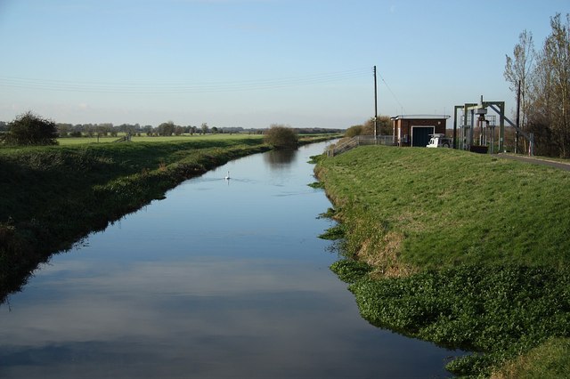
To continue your walking on the moors head north to pick up the Keadby Canal. There's some pleasant grassy footpaths along the canal which runs along the northern edge of the moors. The Peatlands Way will also take you to Thorne Moors, another nature reserve which makes up part of the Humberhead Peatlands National Nature Reserve.
Postcode
DN7 6BF - Please note: Postcode may be approximate for some rural locationsHatfield Moors Ordnance Survey Map  - view and print off detailed OS map
Hatfield Moors Open Street Map  - view and print off detailed map
Hatfield Moors OS Map  - Mobile GPS OS Map with Location tracking
Hatfield Moors Open Street Map  - Mobile GPS Map with Location tracking
Further Information and Other Local Ideas
Head west into Doncaster and you can enjoy a lovely riverside walk to the picturesque Sprotbrough Falls and the impressive Conisbrough Viaduct. There's also more interesting flora and fauna to be found at the Potteric Carr Nature Reserve and Sandall Beat Wood on the eastern fringes of the town.
Cycle Routes and Walking Routes Nearby
Photos
Humberhead Peatlands National Nature Reserve. View east before leaving the damper part of the nature reserve heading south. Note the peat banks separating the lakes.
Whooper Swan at Humberhead Peatlands NNR. This is a Whooper Swan as the yellow extends to a sharp point on the bill. This makes a 'W' shape from above. Bewick's Swans are similar but a little smaller and the yellow on their bill is smaller and more rounded, making a 'B' shape from above. This was the only specimen amongst the other birds, generally ducks.


