Hawsker to Whitby Walk
![]()
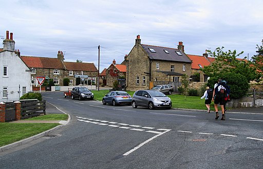
![]() This circular walk takes you from the village of Hawkser to nearby Whitby on the North Yorkshire coast. There's much to enjoy with fine coastal cliff top views, a photogenic old railway viaduct and a wonderful ancient abbey.
This circular walk takes you from the village of Hawkser to nearby Whitby on the North Yorkshire coast. There's much to enjoy with fine coastal cliff top views, a photogenic old railway viaduct and a wonderful ancient abbey.
The walk starts in Hawkser village and then follows a track north east to the coast where you can pick up the Cleveland Way. Follow the waymarked trail north west to Saltwick Bay and then onto Whitby where you will pass the famous abbey ruins.
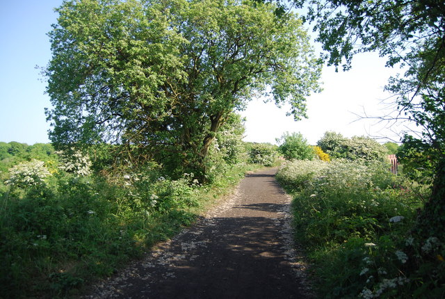
The walk then heads south through the town to Fishburn Park where you will pick up a shared cycling and walking trail along the Cinder Track. You can then follow this old railway line south east, crossing the old Larpool Viaduct and passing neighbouring Stainsacre before returning to Hawkser.
Hawsker to Whitby Ordnance Survey Map  - view and print off detailed OS map
Hawsker to Whitby Open Street Map  - view and print off detailed map
Hawsker to Whitby OS Map  - Mobile GPS OS Map with Location tracking
Hawsker to Whitby Open Street Map  - Mobile GPS Map with Location tracking
Cycle Routes and Walking Routes Nearby
Photos
Hawsker station, a former railway station on the Scarborough & Whitby Railway. It opened on 16 July 1885, and served the villages of High Hawsker, Low Hawsker and Stainsacre. Hawsker was a small intermediate stop and its ticket sales reflected this; it sold only 8,982 tickets in 1922. The station is now (2007) the headquarters of Trailways Cycle Hire and has old railway carriages used as accommodation on site.
Signpost for Hawsker. The OS map shows a public footpath running up to Gnipe How and then joining a track to Hawsker. The photograph was taken on the Cleveland Way, which at this point digresses to the cliff top. Keywords: Signpost, wall, gate.


