Hinchingbrooke Country Park
![]()
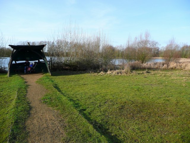
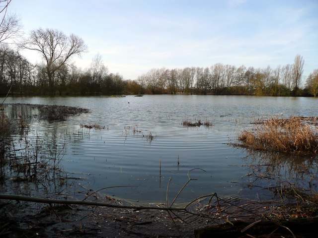
![]() Explore 170 acres of open grasslands, meadows, woodlands and lakes in this fine country park in Huntingdon. There are a number of pleasant woodland and lakeside paths to enjoy.
There is also a bridleway/cycle path running through the park while National Cycle Route 51 runs past the perimeter. For mountain bikers there is a specially designed course with mounds of various sizes.
Explore 170 acres of open grasslands, meadows, woodlands and lakes in this fine country park in Huntingdon. There are a number of pleasant woodland and lakeside paths to enjoy.
There is also a bridleway/cycle path running through the park while National Cycle Route 51 runs past the perimeter. For mountain bikers there is a specially designed course with mounds of various sizes.
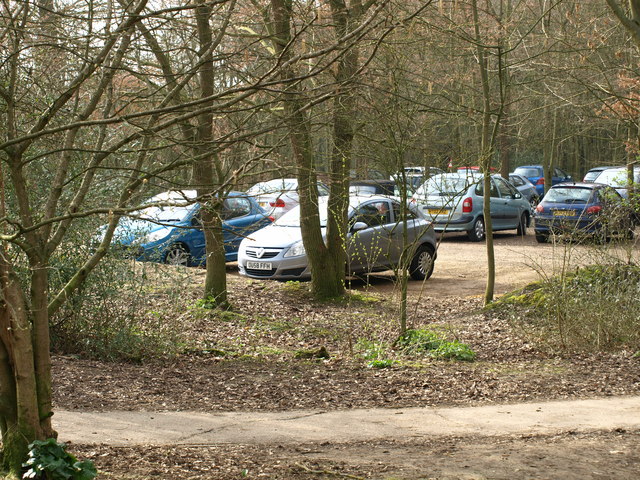
The park has excellent facilities with a visitor centre and cafe.
The Ouse Valley Way long distance trail runs past the park so it's easy to extend your walking in the area. You could follow the path east through Godmanchester and visit the delightful Houghton Mill. The working 18th-century watermill is set in an idyllic location on an island in the river.
Please click here for more information
Hinchingbrooke Country Park Ordnance Survey Map  - view and print off detailed OS map
Hinchingbrooke Country Park Open Street Map  - view and print off detailed map
Hinchingbrooke Country Park OS Map  - Mobile GPS OS Map with Location tracking
Hinchingbrooke Country Park Open Street Map  - Mobile GPS Map with Location tracking
Pubs/Cafes
There's a very good on site cafe where you can enjoy refreshments after your walk. They do a good range of meals and also sell bird seed.
Dog Walking
The parkland and woodland are a great place to bring your dog for walk. There are plenty of off lead areas but some parts of the nature reserve require leads because of the wildlife. The cafe mentioned above is also dog friendly.
Cycle Routes and Walking Routes Nearby
Photos
Replica of a traditional British round house, thatched with reed with wattle and daub walls: part of the Romano-British farmstead reconstruction at Hinchingbrooke Country Park


