Huntingdon Rivers and Lakes Walk
![]()
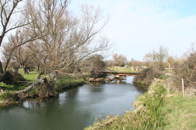
![]() A circular walk from Huntingdon taking in the River Great Ouse, Houghton Mill and Hemingford Abbots. The route makes use of the waymarked Ouse Valley Way and the Pathfinder Walk to visit streams, lakes and lovely water meadows to the east of the town.
A circular walk from Huntingdon taking in the River Great Ouse, Houghton Mill and Hemingford Abbots. The route makes use of the waymarked Ouse Valley Way and the Pathfinder Walk to visit streams, lakes and lovely water meadows to the east of the town.
Starting in the centre of the town head south to Godmanchester to pick up the Ouse Valley Way. It will take you north east to the pretty Cook's Stream, where you'll pass a series of lakes. You continue past Wetside Common and Hartford Marina to the National Trust's Houghton Mill.
The working 18th-century watermill is set in an idyllic location on an island in the river. It's surrounded by lovely water meadows with a number of nice footpaths to follow around the site. There's also a nice tea room where you can stop for refreshments at what is roughly the half way point on the walk.
After exploring the mill and water meadows you head south across Hemmingford Meadows to the village of Hemingford Abbots. Here you can visit The Axe and Compass pub, situated in a thatched 15th-century house. Just to the east is the neighbouring village of Hemingford Grey. Here you have the option of visiting Hemingford Grey Manor which dates from the 12th century. The interesting house and gardens are open to visitors.
This route picks up the Pathfinder Long Distance Walk and heads west past Godmanchester Common to Godmanchester. You then head north past the marina back into Huntingdon.
Just to the west of Huntingdon you will find Hinchingbrooke Country Park. Here you can explore 170 acres of open grasslands, meadows, woodlands and lakes.
Also nearby is Brampton Wood. The 326 acre site has a number of nice footpaths with 280 species of fern, conifer, flowering plant and trees to see.
Huntingdon Ordnance Survey Map  - view and print off detailed OS map
Huntingdon Open Street Map  - view and print off detailed map
Huntingdon OS Map  - Mobile GPS OS Map with Location tracking
Huntingdon Open Street Map  - Mobile GPS Map with Location tracking
Further Information and Other Local Ideas
The Pathfinder Long Distance Walk passes through the area. The long distance circular walk visits the RAF Pathfinder stations at Wyton, Graveley, Oakington and Warboys. It's an interesting and historical walk visiting several memorial sites on the way.


