Holme Fen Walk
![]()
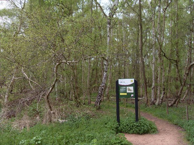
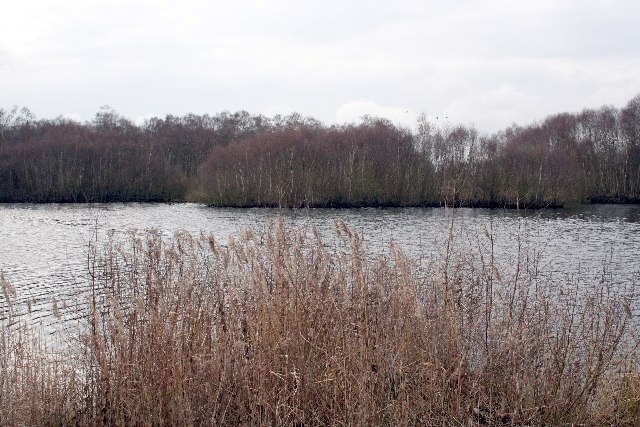
![]() Explore the largest Silver Birch woodland in lowland England on this walk in Cambridgeshire. There are 657 acres of acid grassland, heath, raised bog, mere and woodland with several bird hides from which to view a wide variety of wildlife. At Holme Post you will be 2.75 metres (9.0 ft) below sea level - the lowest land point in Great Britain.
Explore the largest Silver Birch woodland in lowland England on this walk in Cambridgeshire. There are 657 acres of acid grassland, heath, raised bog, mere and woodland with several bird hides from which to view a wide variety of wildlife. At Holme Post you will be 2.75 metres (9.0 ft) below sea level - the lowest land point in Great Britain.
If you would like to continue your walk you could head to the nearby Woodwalton Fen National Nature Reserve. Holme Fen is located between Peterborough and Huntingdon.
The reserve is part of the larger Great Fen Wetland Project. You can visit the Great Fen information point and try the lovely Dragonfly Trail.
The 2 mile circular footpath is waymarked and includes ponds, woodland and lots of information points explaining the Great Fen project.
Holme Fen Ordnance Survey Map  - view and print off detailed OS map
Holme Fen Open Street Map  - view and print off detailed map
*New* - Walks and Cycle Routes Near Me Map - Waymarked Routes and Mountain Bike Trails>>
Holme Fen OS Map  - Mobile GPS OS Map with Location tracking
Holme Fen Open Street Map  - Mobile GPS Map with Location tracking
Cycle Routes and Walking Routes Nearby
Photos
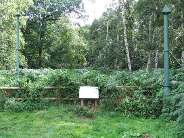
The Holme Fen Posts. The Holme Posts it is believed to be the lowest land point in England at nearly 3 metres below sea level. The location is marked by a cast-iron post, sunk into the peat in 1851 until it rested on the clay beneath. The drainage of the fens since then has resulted in the ground sinking by 4 metres since then leaving the post completely exposed. The post on the left was installed in 1957 when the other became unstable near to Holme, Cambridgeshire.


