Husthwaite Walks
![]()
![]() This Yorkshire based village sits just to the west of Coxwold in the North York Moors area of the county.
This Yorkshire based village sits just to the west of Coxwold in the North York Moors area of the county.
The village is a pleasant place for a walk with a pretty village green and a church dating back to the 12th century.
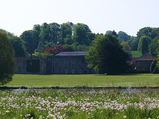
This circular walk from the village visits Coxwold and the historic sites at Byland Abbey and Newburgh Priory. The ancient sites are two of the highlights of the local area and include lovely grounds and gardens to stroll around.
On the return leg the walk passes close to the old railway line and the site of the Husthwaite Gate Railway station. Along the way there's some lovely views of the surrounding countryside and hills.
To continue your walking in the area head to the nearby Sutton Bank and the Kilburn White Horse. It's another major walking highlight with some wonderful views over the area to enjoy.
Postcode
YO61 4QA - Please note: Postcode may be approximate for some rural locationsHusthwaite Ordnance Survey Map  - view and print off detailed OS map
Husthwaite Open Street Map  - view and print off detailed map
Husthwaite OS Map  - Mobile GPS OS Map with Location tracking
Husthwaite Open Street Map  - Mobile GPS Map with Location tracking
Pubs/Cafes
Head to the Plum and Partridge for some post walk refreshments. They serve good quality meals and also provide rooms if you would like to stay in the area. You can find them at postcode YO61 4QA for your sat navs.
Cycle Routes and Walking Routes Nearby
Photos
Husthwaite Gate railway station (site), Yorkshire. Opened in 1854 as a branch of the York, Newcastle and Berwick Railway from just south of Pilmoor to Gilling, this station closed to passengers in 1953 and completely in 1964. View south west towards Pilmoor. There was a single platform on the right with a small wooden building, and a level crossing where the fence in the distance now is. Some bricks can still be seen on the right.


