Iron Acton Walks
![]()
![]() This South Gloucestershire based village is located just to the west of Yate and not far from the city of Bristol.
This South Gloucestershire based village is located just to the west of Yate and not far from the city of Bristol.
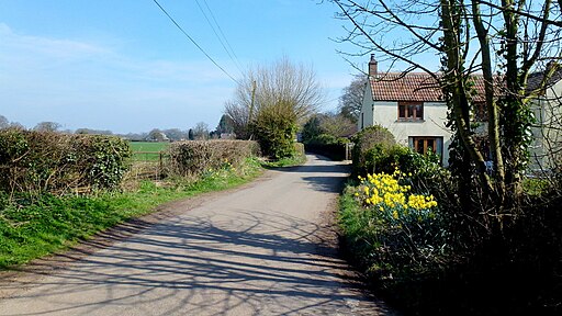
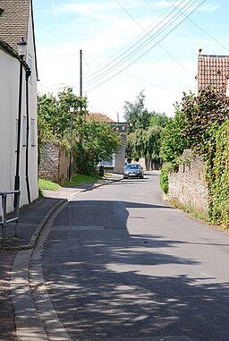
Features in the pretty village include an historic church, riverside walks, a lovely garden centre and a noteworthy pub dating back to the 17th century.
This circular walk from the village takes you south to pick up a section of the Frome Valley Walkway. The waymarked footpath can be followed along the River Frome towards Yate or Frampton Cotterell.
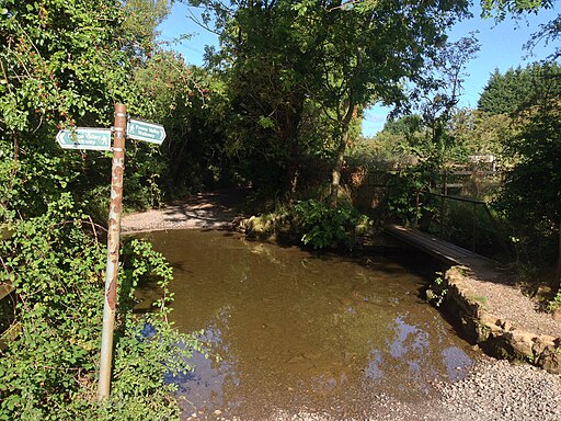
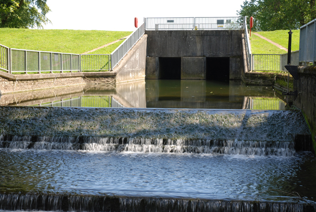
This walk takes you past the picturesque mill pond at Algars Manor before heading along the river to the Tubbs Bottom detention reservoir. You can then follow Nibley Lane back into the village.
Postcode
BS37 9UZ - Please note: Postcode may be approximate for some rural locationsIron Acton Ordnance Survey Map  - view and print off detailed OS map
Iron Acton Open Street Map  - view and print off detailed map
*New* - Walks and Cycle Routes Near Me Map - Waymarked Routes and Mountain Bike Trails>>
Iron Acton OS Map  - Mobile GPS OS Map with Location tracking
Iron Acton Open Street Map  - Mobile GPS Map with Location tracking
Walks near Iron Acton
- Yate - This town in South Gloucestershire is well served by several waymarked footpaths
- Frome Valley Walkway - This pleasant and fairly easy walk takes you from Eastville Park on the outskirts of Bristol to the village of Old Sodbury along the River Frome
- Chipping Sodbury - This market town in South Gloucestershire is surrounded by some lovely Cotswolds countryside
- Monarch's Way - This incredible 615-mile walk approximates the escape route taken by King Charles II in 1651 after being defeated in the Battle of Worcester
- Cotswold Way - This trail takes you through some of the most beautiful countryside in England
- Westonbirt Arboretum - Enjoy a woodland walk through this beautiful Arboretum near Tetbury in the Cotswolds.
- Badminton House and Estate - Enjoy a walk through the Duke of Beaufort's estate on this easy circular walk in the Cotswolds
- Dyrham Park - A circular walk through this lovely 270 acre deer park near Bath
- Hawkesbury Upton - This pretty village in South Gloucestershire is surrounded by some beautiful rolling Cotswolds countryside
- Leighterton to Westonbirt Walk - This walk takes you from the rural village of Leighterton to the splendid Westonbirt Arboretum.
Pubs/Cafes
The Lamb Inn is a nice place for some post walk refreshments. The inn has some historical signficance as a former coaching house dating from 1690. It is also claimed that William of Orange once stayed here. They serve good quality food and also have a nice garden area with a children's swing, a stream and a covered verandah. You can find them at Wotton Road with postcode BS37 9UZ.
They are dog friendly and also have car parking.
The village also has a nice garden centre where you could visit the on site cafe. It's a lovely place for a stroll and a bite to eat in the village. You can find them near the pub at postcode BS37 9XA for your sat navs.
Photos
Footpath through tunnel. The footpath goes through this tunnel and under the drive to the Old Rectory behind the church.


