Irwell Vale Walks
![]()
![]() This Lancashire mill village is located near Ramsbottom and Rawtenstall on the rivers Irwell and Ogden.
This Lancashire mill village is located near Ramsbottom and Rawtenstall on the rivers Irwell and Ogden.
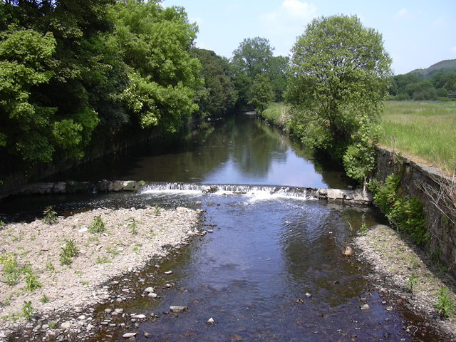
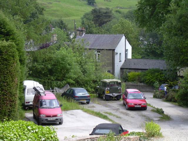
You can visit the village on the East Lancashire Railway, a fine heritage railway with the historic steam trains. It's a very appealing place for walkers with river trails, nearby lakes and miles of footpaths across the expansive moorland to the west. The village itself is also very pretty with terraced mill cottages, a gothic architectural church, and old textile mills to see.
This circular walk from the village visits some of the local highlights including Calf Hey Reservoir, Holden Wood Reservoir, Ogden Reservoir, Holcombe Moor, Musbury Tor and quarry, the old railway and the River Irwell. The trail uses sections of the Rossendale Way long distance footpath for much of the walk.
On the way you'll enjoy waterside trails along the rivers and lakes, and some excellent views over the area from the elevated moorland which is owned by the National Trust. At the northern end of the walk you can extend your exercise by further exploring the lovely Haslingden Grane.
Irwell Vale Ordnance Survey Map  - view and print off detailed OS map
Irwell Vale Open Street Map  - view and print off detailed map
Irwell Vale OS Map  - Mobile GPS OS Map with Location tracking
Irwell Vale Open Street Map  - Mobile GPS Map with Location tracking
Walks near Irwell Vale
- Calf Hey Reservoir - The attractive area of Haslingden Grane includes some nice walking trails around Calf Hey Reservoir and through the adjacent woodland
- Rossendale Way - This circular walk takes you on a tour of the lovely Rossendale area of Lancashire and Greater Manchester.
The path passes Haslingden, Rawtenstall, Whitworth, Stubbins and Healey with a series of attractive reservoirs including Cowpe and Calf Hey real highlights - Peel Tower - This walk climbs to the Peel Monument on Holcombe Hill in Ramsbottom near Bury
- Holcombe Moor - A circular walk around Holcombe Moor visiting Peel Tower on the way
- Musbury Tor - This walk climbs to Musbury Tor or Tor Hill in the Rossendale Valley
- Ramsbottom - A circular walk around Ramsbottom visiting some of the highlights of the area including River Irwell, Nuttall Park, Holcombe and the iconic Peel Tower.
The walk starts from the train station and heads a short distance to the east to pick up the Irwell Sculpture Trail - Summerseat - This village near Ramsbottom is a lovely place for a stroll
- Rawtenstall - This Lancashire based town is in a great place for exploring the River Irwell and the Rossendale Valley
- Haslingden Grane - This area of moorland in Rossendale includes several historic ruined farmhouses and a series of picturesque reservoirs.


