Kelston Roundhill Circular Walk
![]()
![]() This circular walk climbs to a splendid viewpoint from the Somerset village of Kelston.
This circular walk climbs to a splendid viewpoint from the Somerset village of Kelston.
The walk starts in Kelston village and follows footpaths north east to Coombe Barn. You can then pick up a section of the Cotswold Way to head up to the viewpoint at Prospect Hill, overlooking Bath Race Course.
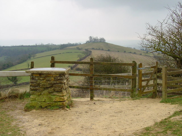
The route then heads south to Kelston Roundhill, an ancient barrow which stands at a height of 218 metres. From here there are excellent views to the cities of Bath and Bristol, and over the Severn bridges to the Black Mountains of Wales. To the east you can also see the rolling hills of the Wiltshire Downs and the Mendip Hills are visible to the south.
After taking in the views the route then continues south east past Dean Hill before turning south west toward Dean Hill House. From here it is a short descent back into Kelston village.
The route links up with the Lansdown Hill, Beckford's Tower and Bath Racecourse Walk at Prospect Hill. This walk takes you across the racecourse on public footpaths.
Kelston Roundhill Ordnance Survey Map  - view and print off detailed OS map
Kelston Roundhill Open Street Map  - view and print off detailed map
*New* - Walks and Cycle Routes Near Me Map - Waymarked Routes and Mountain Bike Trails>>
Kelston Roundhill OS Map  - Mobile GPS OS Map with Location tracking
Kelston Roundhill Open Street Map  - Mobile GPS Map with Location tracking
Pubs/Cafes
Head to the Old Crown for some refreshments after your walk. The pub serves fine food has a fabulous large garden to relax in on warmer days. The lovely open space won the Bath in Bloom and South West in Bloom awards in 2018. The pub also has some history having been a coaching inn back in the 17th century. You can find them in the village with a postcode of BA1 9AQ for your sat navs.
Dog Walking
The hills make for a bracing walk for fit dogs. The Crown pub mentioned above is also dog friendly.
Further Information and Other Local Ideas
You can extend your walking in the area by continuing south east along the Cotswold Way into Bath. Here you can pick up the popular Bath Canal Walk and Bath Skyline Walk.
Just a mile to the west there's the neighbouring village of Saltford. The circular Saltford Walk uses parts of the Bristol and Bath Railway Path, the River Avon Trail and the Two Rivers Way to visit the Kelston Brass Mills, Avon Valley Country Park and the riverside town of Keynsham.
A couple of miles to the south there's the noteworth village of Newton St Loe. The settlement includes the attractive Newton College and Newton Park where there's an 18th-century landscaped garden, designed by the famous landscape gardener Capability Brown. There's also a historic 18th century country house and a fine 17th century pub to see too.
For more walking ideas in the area see the Somerset Walks page.
Cycle Routes and Walking Routes Nearby
Photos
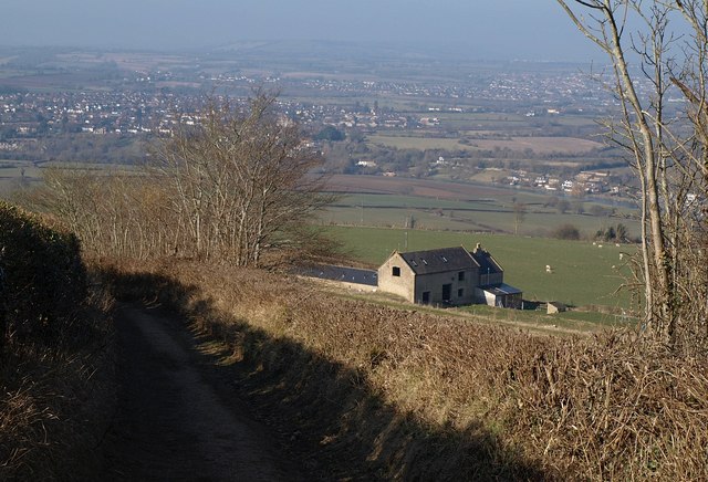
Coombe Barn, Kelston. A view of the barn from a green lane as it descends towards Kelston and the Avon valley. The line of the River Avon can be seen crossing the image above the three converted barns. Behind the trees left of centre is Saltford. The barn has three holiday cottages which are probably converted stables, to let.
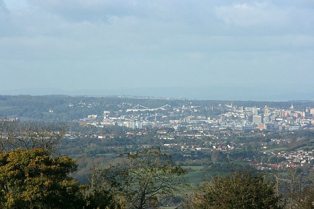
View from Lansdown (Clifton Suspension Bridge). Brunel's masterpiece is where it should be, at the centre of the picture looking out at the sights of Bristol. The Cabot Tower is there on Brandon Hill, The Cathedral on College Green, the University Tower at the top of Park Street and many others.


