Kingswood Walks
![]()
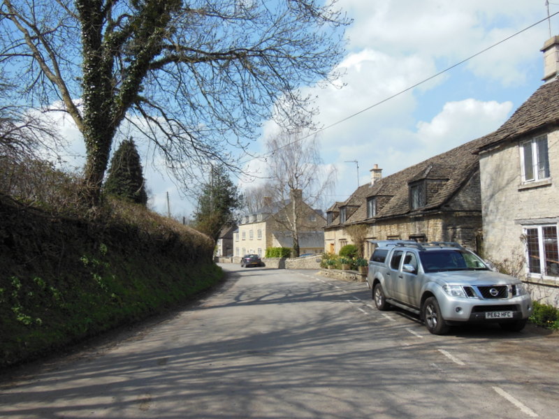
![]() This pretty Gloucestershire village is located just south of Wotton-under-Edge in the Cotswolds.
This pretty Gloucestershire village is located just south of Wotton-under-Edge in the Cotswolds.
This circular walk from the village visits Wotton-under-Edge, Wortley and the neighbouring village of Alderley. Part of the walk uses a section of the Cotswold Way, a long distance waymarked footpath which runs through the area.
On the walk you will pass the 15th century Abbey Gatehouse on the eastern side of the village. The historic site is owned by English Heritage and is all that survives of the former Cistercian abbey.
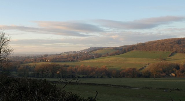
There's also some moderate hill climbs with splendid views over the surrounding countryside.
Postcode
GL12 8RT - Please note: Postcode may be approximate for some rural locationsKingswood Ordnance Survey Map  - view and print off detailed OS map
Kingswood Open Street Map  - view and print off detailed map
Kingswood OS Map  - Mobile GPS OS Map with Location tracking
Kingswood Open Street Map  - Mobile GPS Map with Location tracking
Walks near Kingswood
- Wotton-under-Edge - A circular walk around this pretty Cotswolds town using the Cotswold Way and other public footpaths
- Tyndale Monument - This is a climb to the Tyndale Monument from the popular Cotswolds town of Wotton-under-Edge
- Newark Park - Explore the 700 acre estate of this Grade I listed building in Wotton-under-Edge, Gloucestershire
- Hawkesbury Upton - This pretty village in South Gloucestershire is surrounded by some beautiful rolling Cotswolds countryside
- Chipping Sodbury - This market town in South Gloucestershire is surrounded by some lovely Cotswolds countryside
- Frome Valley Walkway - This pleasant and fairly easy walk takes you from Eastville Park on the outskirts of Bristol to the village of Old Sodbury along the River Frome
- Westonbirt Arboretum - Enjoy a woodland walk through this beautiful Arboretum near Tetbury in the Cotswolds.
- Badminton House and Estate - Enjoy a walk through the Duke of Beaufort's estate on this easy circular walk in the Cotswolds
- Dyrham Park - A circular walk through this lovely 270 acre deer park near Bath
- Berkeley - This small Gloucestershire town has some nice local river and canalside trails to try
- Stinchcombe Hill - This walk climbs to the lovely viewpoint at Stinchcombe Hill in the Cotswolds
- Dursley - The market town of Dursley is located in an excellent position on the edge of the Cotswolds escarpment and near to the countryside of the Severn Vale
- Charfield - Charfield is a pretty Gloucestershire village located just to the east of Kingswood and Wotton-under-Edge.
Pubs/Cafes
Dinneywicks Village Inn is a friendly local in the village. They serve good quality food and have a nice garden area. You can find them at postcode GL12 8RT for your sat navs.
Further Information and Other Local Ideas
Footpaths to the west lead to Elbury Hill and the neighbouring village of Charfield.
Photos
Abbey Gatehouse Kingswood. The abbey was demolished during the Dissolution of the Monasteries in the 16th century. All that remains is the gatehouse, a Grade 1 listed building. Through the gatehouse arch are a few houses and the small village primary school of Kingswood.


