Knott End Walk
![]()
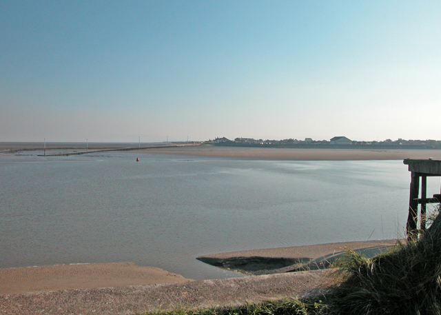
![]() Enjoy a circular coastal walk around this pretty village in Lancashire. In the summer months you can catch the Knott End Ferry from Fleetwood to Knott End on Sea. It's a lovely spot with nice views over the estuary of the River Wyre and Morecambe Bay. There's also lots of pretty cottages and coastal wildlife to look out for.
Enjoy a circular coastal walk around this pretty village in Lancashire. In the summer months you can catch the Knott End Ferry from Fleetwood to Knott End on Sea. It's a lovely spot with nice views over the estuary of the River Wyre and Morecambe Bay. There's also lots of pretty cottages and coastal wildlife to look out for.
Starting from the ferry terminal you can follow waymarked footpaths south along the Wyre Way before crossing the golf course and returning to the village. On the eastern side of the golf course you can also visit the village of Preesall. After your walk there are nice cafes and a pub where you can enjoy refreshments.
To continue your walking in the area you can pick up the Lancashire Coastal Way and head east towards Pilling. Heading west past Fleetwood will take you around the coast to Cleveleys and Blackpool.
On the other side of the river you will find the pretty Wyre Estuary Country Park which has more nice footpaths and views.
Postcode
FY6 0AB - Please note: Postcode may be approximate for some rural locationsKnott End Ordnance Survey Map  - view and print off detailed OS map
Knott End Open Street Map  - view and print off detailed map
Knott End OS Map  - Mobile GPS OS Map with Location tracking
Knott End Open Street Map  - Mobile GPS Map with Location tracking
Pubs/Cafes
The Bourne Arms can be found on Bourne May Road at postcode FY6 0AB for your sat navs. The pub overlooks the River Wyre, Morecambe Bay and the Lakeland Fells. They serve good quality food and have a car park and garden area. The inn is also dog friendly.
Further Information and Other Local Ideas
For more walking ideas in the area see the Lancashire Walks page.
Cycle Routes and Walking Routes Nearby
Photos
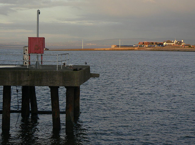
Breakwater at Knott End in March 2010. At the end of the ferry slipway is a shallow breakwater which affords some protection from waves. In the distance can be seen the old Wyre Lighthouse, built in 1840 by Alexander Mitchell, a blind engineer. The first of its kind, it rests upon 7 screw piles sunk into the seabed at the northern edge of North Wharf, the sandbank stretching from Fleetwood to the edge of Lune Deeps in Morecambe Bay. Unfortunately it was destroyed by fire in 1948 and has gradually fallen into worse decay since. To the right of the light, on the horizon are the Cumbrian mountains.


