Wyre Way
![]()
![]() Follow the course of the River Wyre from Fleetwood to Abbeystead Reservoir on this 45 mile waymarked walk in Lancashire.
Follow the course of the River Wyre from Fleetwood to Abbeystead Reservoir on this 45 mile waymarked walk in Lancashire.
It's a lovely long distance trail with great views of the Wyre Estuary at the start and a long stretch through the Forest of Bowland AONB towards the end.
The route begins on Shard Bridge near Thornton and Hambleton and heads north to Fleetwood passing the Wyre Estuary Country Park.
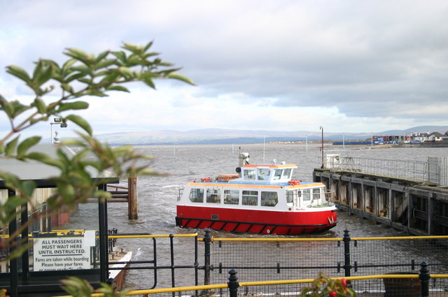
At Fleetwood you catch the ferry to the pretty village of Knott End before turning south towards Hambleton. Here the path turns east, heading through some lovely countryside to St Michael's on Wyre and Churchtown before coming to the attractive town of Garstang on the Lancaster Canal.
The next stage heads north from Garstang to Dolphinholme, passing Scorton Lake and Wyre Lake. At Dolphinholme you head east to Abbeystead where you pass the pretty reservoir before climbing towards Tarnbrook and Marshaw in the Forest of Bowland. The route loops round before finishing back at Abbeystead.
Wyre Way Ordnance Survey Map  - view and print off detailed OS map
Wyre Way Open Street Map  - view and print off detailed map
Wyre Way OS Map  - Mobile GPS OS Map with Location tracking
Wyre Way Open Street Map  - Mobile GPS Map with Location tracking
Pubs/Cafes
The Fleece Inn in Dolphinholme is a fine place for a pit stop on the route. The inn serves good food and has a nice large garden area to relax in. Inside the walls have a variety of historic prints and photos of old Dolphinholme. They also have a car park and provide rooms if you'd like to stay over. You can find them in the village at postcode LA2 9AQ for your sat navs.
Further Information and Other Local Ideas
Near the start of the walk you can visit the famous town of Blackpool with its beaches and famous tower.
For more walking ideas in the area see the Lancashire Walks page.
Cycle Routes and Walking Routes Nearby
Photos
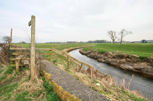
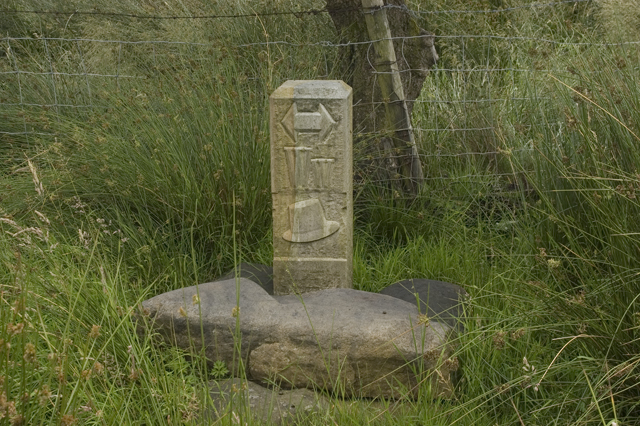
Here the Wyre Way footpath rejoins the river whence it was named, after an inland sojourn. Taken near St Michael's.
