Leighton Reservoir
![]()
![]() This circular walk visits Leighton and Roundhill Reservoirs before climbing into the surrounding moors for great views back down to the water.
This circular walk visits Leighton and Roundhill Reservoirs before climbing into the surrounding moors for great views back down to the water.
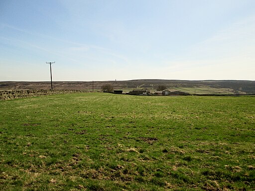
You can start the walk from the roadside parking near the bridge and then follow paths along the woodland to Roundhill Reservoir. The route then climbs onto Arnagill Moor, where you will reach a height of over 1200ft. From these high points there are splendid views over the beautiful countryside of Nidderdale.
The route then descends through Head Moor before returning to the reservoirs.
You could start the walk from nearby Masham if you prefer. Then follow the Ripon Rowel west along the River Burn to the reservoir.
The reservoir is located very near to the fascinating Druids Temple. This replica of stonehenge sits on a hill just to the east of the start point for this walk. It's well worth a visit if you have time.
The long distance Six Dales Trail also passes the reservoirs. You can pick this up and follow it south across Fountains Earth Moor and visit Gouthwaite Reservoir to extend your exercise. Around here you can also pick up the Nidderdale Way and further explore this lovely area.
Postcode
HG4 4LT - Please note: Postcode may be approximate for some rural locationsLeighton Reservoir Ordnance Survey Map  - view and print off detailed OS map
Leighton Reservoir Open Street Map  - view and print off detailed map
Leighton Reservoir OS Map  - Mobile GPS OS Map with Location tracking
Leighton Reservoir Open Street Map  - Mobile GPS Map with Location tracking
Explore the Area with Google Street View 
Pubs/Cafes
Just to the east of the reservoir you will find the Black Swan at Fearby. They do great food and also provide good quality accommodation if you need to stay over. Inside there's an attractive olde interior with a number of aerial photographs on the wall. Outside there's a lovely patio area where you can enjoy view across the Dale. You can find the inn at Fearby near Masham, with a postcode of HG4 4NF for your sat navs. The inn is also dog friendly if you have your canine friend with you.
Further Information and Other Local Ideas
A few miles to the north you'll find one of the historic highlights of the area at Jervaulx Abbey. The 12th century ruined abbey is surrounded by 126 acres of attractive parkland with wildflowers, grazing sheep, a pretty pond and fine views of the surrounding North Yorkshire countryside. Just to the north of here you'll also find the picturesque Thornton Steward Reservoir where there's a peaceful waterside trail.
For more walking ideas in the area see the Yorkshire Dales Walks page.
Cycle Routes and Walking Routes Nearby
Photos
Bridge on Roundhill Reservoir. This bridge spans the southern arm of Roundhill Reservoir to give access to Round Hill Farm - which now appears to be abandoned


