Lintrathen Loch Walk
![]()
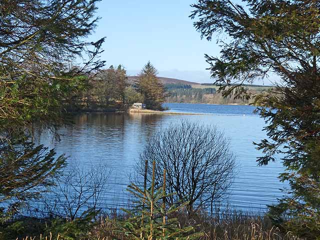
![]() This lovely reservoir in Angus is a lovely place for a short stroll and some birdwatching. The loch is surrounded by attractive woodland and a number of bird hides. Here you can look out for wildlife including osprey, otter and various wildfowl.
This lovely reservoir in Angus is a lovely place for a short stroll and some birdwatching. The loch is surrounded by attractive woodland and a number of bird hides. Here you can look out for wildlife including osprey, otter and various wildfowl.
To continue your walking in the area head north to Backwater Reservoir. There's a nice circular trail running round the water and the opportunity to pick up the long distance Cateran Trail nearby.
Postcode
DD8 5JJ - Please note: Postcode may be approximate for some rural locationsLintrathen Loch Ordnance Survey Map  - view and print off detailed OS map
Lintrathen Loch Open Street Map  - view and print off detailed map
Lintrathen Loch OS Map  - Mobile GPS OS Map with Location tracking
Lintrathen Loch Open Street Map  - Mobile GPS Map with Location tracking
Pubs/Cafes
Just west of the loch is Peel Farm where there's a nice Coffee Shop for refreshments. You could enjoy a delicious afternoon tea and then enjoy a stroll around the courtyard and farm shop. The area also includes a Nature Trail taking you past the red deer park and then to one of the waterfalls on the River Isla. You can find them at postcode DD8 5JJ.
Further Information and Other Local Ideas
A few miles to the east you could visit Kirriemuir and the Loch of Kinnordy. The RSPB nature reserve includes a wide variety of wildlife and more nice waterside trails.
The remote Loch Shandra is just to the north west.
Cycle Routes and Walking Routes Nearby
Photos
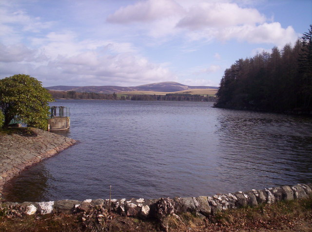
Loch of Lintrathen. The loch has been the main water supply for the city of Dundee and Angus since 1875.


